Get ready for the summer doldrums as Acadiana’s weather pattern will be in a drier and hotter than normal pattern through the first week of June.
Look for mostly sunny and hot conditions each day for the rest of the week with daytime highs between 93-96F depending on how much "sea-breeze cooling" we get, and how far inland the sea breeze penetrates each day.

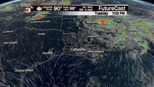
Rain chances on any given day through Friday will be in the 5% range, so the gardens will need watering for sure.
Moving into the weekend, the ridge of high pressure aloft will strengthen overall, potentially allowing for hotter, more westerly oriented afternoon winds, which will likely bring our temperatures into the upper 90s this weekend.
A few spots across northern portions of Acadiana may see 100 degrees by Sunday afternoon.
But there is a little bit of a sign that a weak trough riding southward through the upper ridge Sunday may spark off some thunderstorms late Sunday into Sunday night.
Overall rain chances will go up to 20%, to perhaps 30%, late Sunday with rain chances near 20% Monday…still not enough to replenish the gardens for most.
Next week there appears to be little budging of the weather pattern with highs continuing in the mid-upper 90s with night time lows in the mid-70s while rain chances stay 10% or less on any given day.
Heat indices over the next few days will top out near 100, but could rise to the 105-108F range this weekend, depending on the dew points, which should be at least in the low-mid 70s.

Staying hydrated, and taking breaks while working and playing outdoors over the next week or two, will be a must.
