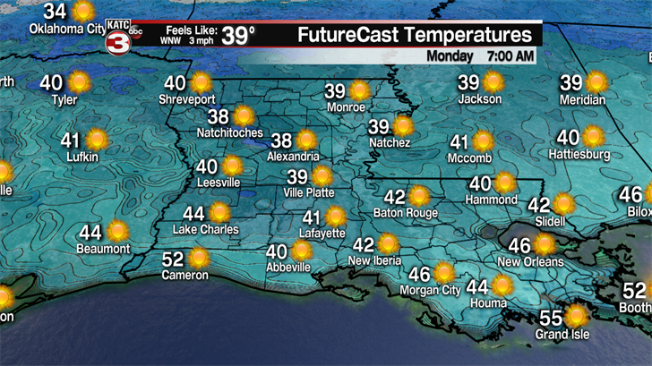
Get ready for a winter-like night across Acadiana as lows will drop into the lower 40s and upper 30s by Monday morning.
The good news is we should still have a slight breeze to prevent any frost from developing so plants should be fine tonight.
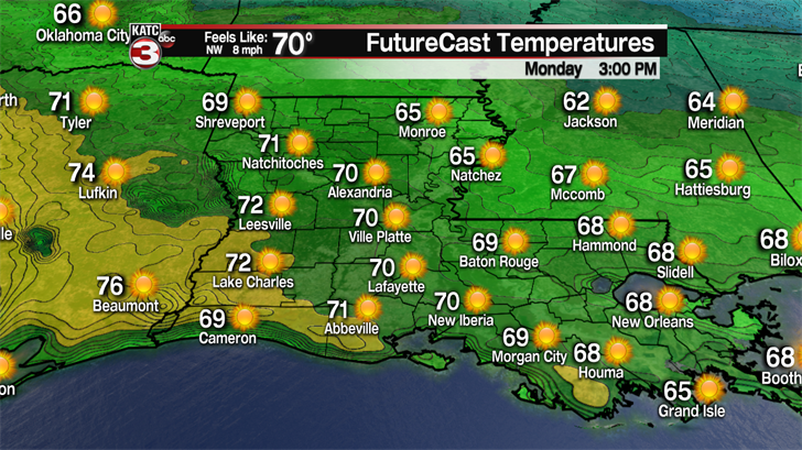
Monday will be another beautiful day with bright, blue, sunny skies and with winds dying down temperatures will warm into the lower 70s.
High pressure will move out into the Gulf of Mexico Monday night flipping winds out of the south so lows Tuesday morning will not be as cold as we will start in the low to mid 50s.
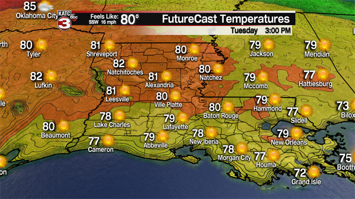
Tuesday afternoon winds will pick up out of the south pushing warmer air over Acadiana as highs will climb into the upper 70s to near 80!
Wednesday clouds will start to build throughout Acadiana as gulf moisture moves over the region with highs in the lower 80s.
Late Wednesday night into early Thursday morning a weak cool front will slide down through the area.
This front could squeeze out a few sprinkles Thursday morning otherwise the main difference you will notice is drier and slightly cooler air moving down into the region as highs will drop back into the upper 70s.
With the dry air in place lows Friday morning will dip into the low to mid 50s.
Friday will be a pleasant day with a mix of sun and clouds and temperatures in the mid 70s.
Looking ahead to next weekend the trend unfortunately continues as we are tracking another strong cold front heading our way.
This front looks to arrive late Saturday night into Sunday so Saturday should still be a nice day with partly sunny skies and highs in the mid to upper 70s, which is great news for the UL Spring football game.
As for the front that looks to produce another decent round of showers and storms.

It is still a little to early to tell but we will have to watch this front closely for the possibility that a couple storms could be on the strong to severe side.
However, unlike the past couple cold fronts this front looks to be moving out of the southwest and not dropping down from the Great Plains so temperatures should not fall too much behind the front as highs for the first half of the following week will be in the mid 70s under partly cloudy skies.
