

ST. LANDRY PARISH — ST. LANDRY PARISH, La. — St. Landry Parish officials are rolling out a new online mapping tool designed to help residents and emergency officials track flooding, road closures and storm-related damage in real time.
The Geographic Information System, or GIS, will allow residents to report issues such as flooded roads, downed trees and other storm impacts directly to parish officials through a website accessible on a phone or computer.
Parish President Jessie Bellard said the system is intended to improve communication between residents and emergency officials during severe weather events.
"So what we're gonna be doing is we're gonna be rolling out something this afternoon that's gonna help us track what's going on in the parish," Bellard said. "If you have a flooded road or if the canals are stopped up and you got a tree down, whatever the case may be, you can go on the website, enter the information and it's gonna send a message to us."
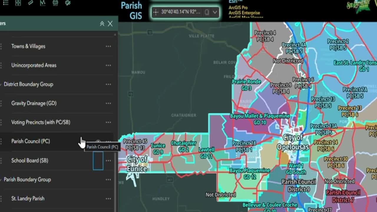
The parish's GIS specialist, Bill Moorman, has spent the past several weeks developing the public-facing map. He described GIS as a digital mapping system that uses geographic data to display information visually.
"GIS stands for Geographic Information System," Moorman said. "It's basically a way to represent data using geography in a digital interface. Basically, if you've used anything like Google Maps or any other kind of online mapping services, those would be considered a GIS."
According to Moorman, residents will be able to submit reports through an online form, identifying the location of flooding, debris or other hazards. Once submitted, the information will appear on the parish's internal mapping system for review.
"The way it's going to work is the folks at home will be able to go to our road closure advisory application," Moorman said. "They can fill out a survey with their name, the road that they're advising for closure, the reason for the closure and some other information."
Parish officials say reports will be verified before being added to the public map. If a road is determined to be unsafe, the closure will be displayed online for residents to see.
Van Reed with St. Landry Parish Emergency Preparedness said the goal is to provide residents with reliable, real-time information while also improving the parish's response efforts.
"We actually see what's being reported, and then we have to go out and verify that road is flooded," Reed said. "Once we do that, we can highlight that location on the public map, and then the public will be able to see what's closed."
The system will also allow residents to upload photos, giving emergency officials a better understanding of conditions before crews are dispatched.
"The pictures help a lot because during a storm we get phone calls all the time saying a road is flooded," Reed said. "This will allow us to actually see photographs of the location."
Officials believe the map could become a valuable resource during hurricane season by giving residents a centralized location to find road closure information.
"It's going to help tremendously with hurricane season because for possibly the first time in St. Landry Parish, the public will have a map that they can go to where they can see what roads are closed," Moorman said.
Bellard added that the system will help officials better prioritize emergency responses by providing visual confirmation of flooding and other hazards.
"This is gonna allow us to see what they see," Bellard said. "If it's gonna be an urgent need, then we need to go address it at that time."
Officials stressed that the GIS platform is currently being launched as a test and may experience minor issues as residents begin using it.
"I just want to make sure we stress this is a test," Reed said. "There may be some kinks. There may be some issues. It's a test to see how well it'll work during a storm."
Parish leaders say the system is expected to remain available throughout hurricane season and could play a key role in future disaster response efforts.
Residents can access the GIS map and reporting tool here.
You can also access the app by scanning this QR code.

