


There is a significant threat for severe weather across the Gulf Coast on Tuesday, with strong storms expected across Acadiana through the middle of the day.
A Tornado Watch has been issued for several Acadiana Parishes. A tornado watch was issued at 7:00 am for Vermilion, Jeff Davis, St. Landry, Lafayette, Acadia, and Evangeline will be under the watch until 2:00 pm. At 10:40 am a tornado watch has been issued for Iberia, St. Martin, and St. Mary parishes until 7:00 pm.
At 1:50 pm a tornado watch was extended for Lafayette, Vermilion and St. Landry Parish until 3:00 pm. The tornado watch for Evangeline and Acadia Parish has been canceled.
A rare Moderate Risk for a majority of Acadiana has been issued by the SPC, which is reserved for high confidence, high impact events.
This should be taken as an indication that there is serious potential for strong, violent storms both along the main line and the isolated cells out ahead of the front.
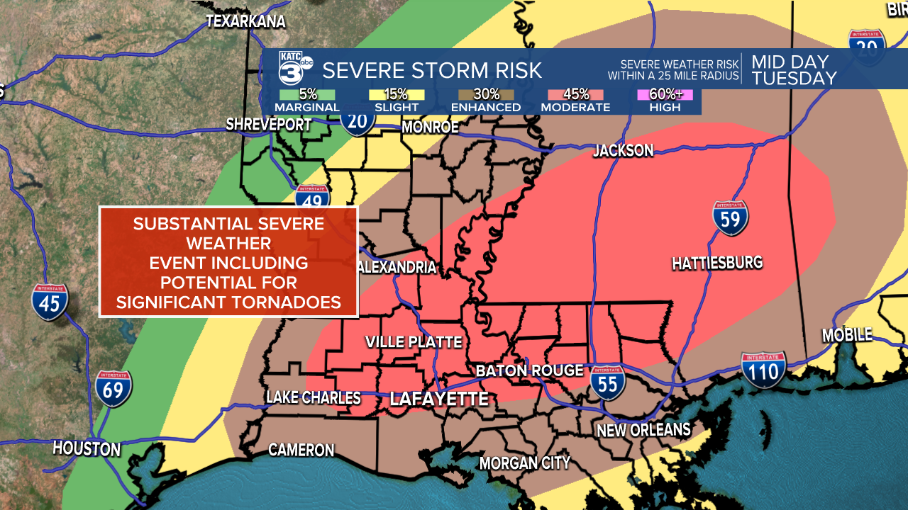
Storms will be capable of producing medium to large sized hail, damaging winds, as well as large, long track tornadoes (EF-2+).
These won't just be associated with the main line of thunderstorms, but also with the discreet cells that often develop ahead of the front.
Those discreet cells will develop in an area that is favorable to produce strong, rotating storms, and will be the types of storms that could produce those larger, longer track tornadoes.

Hail is going to be a little more isolated, but medium to large hail will be possible both along the main front and inside any supercells that develop through the morning.
Any of the storms could produce damaging winds, but the straight line wind threat will increase as the main front moves through the area, producing wind gusts that could top 70 mph.
That front is expected to move through the area right in the middle of the day, pushing from west to east starting around noon and exiting the area in the middle of the afternoon.

While the front moves through during the middle of the day it's hard to overstate how important it will be to keep an eye on the radar through the morning, before the front even arrives.
There's a tremendous amount of energy available for any storms to tap into particularly in central and northern Acadiana stretching into central Mississippi, any storm in that region will need to be given a lot of attention.
If you live in a mobile home or a temporary structure you should find a more permanent structure to spend the day, just to be on the safe side.
Avoid travel during the middle part of the day if necessary, especially if you are in a warning box (which means that severe weather is either imminent or ongoing).
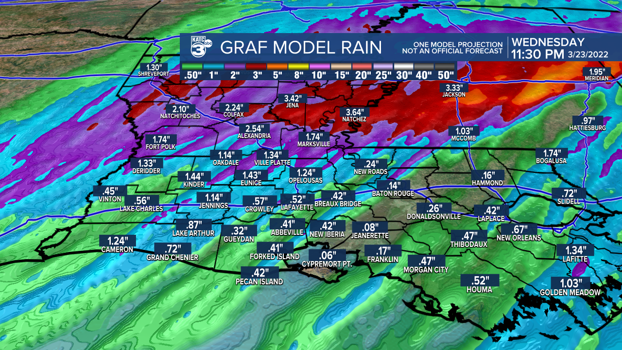
Roads may end up seeing some localized flash flooding as the system will produce some very heavy downpours, which will arrive in a very short amount of time.
It is going to be absolutely vital to stay up to date with the ongoing weather situation, so make sure that you know exactly where you'll be getting your alerts.
Those alerts will be sent to the KATC weather app which will deliver all of the warnings and notices to your phone, make sure that you have those notifications turned on.
As storms get going we will be updating as necessary both online and on the air, so stay with KATC and be sure to remain weather aware through the day.
------------------------------------------------------------
Stay in touch with us anytime, anywhere.
To reach the newsroom or report a typo/correction, click HERE.
Sign up for newsletters emailed to your inbox. Select from these options: Breaking News, Evening News Headlines, Latest COVID-19 Headlines, Morning News Headlines, Special Offers
