


TONIGHT: Mild & Muggy/Iso. showers
SATURDAY: Turning mostly sunny & warm
DISCUSSION
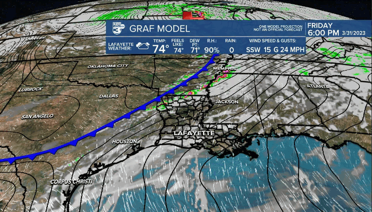
There is still the possibility that you could see an isolated light showers this evening and overnight tonight as a frontal boundary works in.
Mild and muggy otherwise as lows settle into the lower 70's.
Early morning clouds Saturday will yield to a mostly sunny afternoon.
However, temperatures will sore into the mid-upper 80's courtesy of a northwesterly wind.
Most of you will notice a reduction in humidity as well.
It'll be short-lived as the boundary lifts back northward Sunday as a warm front.
As a result, expect more of a partly to mostly cloudy sky to round out the weekend.
Highs will push the lower 80's.
A few scattered showers and storms will be possible Sunday, but it looks like best rain chances will set up farther off to our north.
A taste of early summer will be in the air for the start of the first full week of April with warm and humid conditions dominating.
That will then be followed by a more active and unsettled weather pattern toward the end of next week as a front stalls out.
We'll have more on this as the pattern comes into better focus in the days ahead.
Have a great weekend!
------------------------------------------------------------
Stay in touch with us anytime, anywhere.
To reach the newsroom or report a typo/correction, click HERE.
Sign up for newsletters emailed to your inbox. Select from these options: Breaking News, Evening News Headlines, Latest COVID-19 Headlines, Morning News Headlines, Special Offers
