


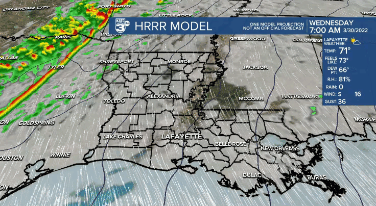
The severe weather threat is increasing for Acadiana with another robust front making its way across the region Wednesday evening.
Similar wording is being used by the Storm Prediction Center (SPC) and north Acadiana is under a Moderate Risk (level 4/5) and an Enhanced Risk (Level 3/5) for the rest of the region on Wednesday.

The weather is expected to swing through quickly, arriving in the late afternoon/early evening and clearing out of the area by dinner time.
Models are indicating that the front could move through right in the middle of commute time, so keep an eye on the radar and be prepared either to leave work a little early or stay a little late if it means keeping off the roads as the storms arrive.
There's a chance that we could see the development of some discreet cells in the early afternoon before the front, although that will largely depend on cloud conditions during the day on Wednesday.
If we can hold on to a layer of cloud cover that could help reduce some of the instability and would prevent isolated cells from developing, however, sunnier skies could lead to isolated storms ahead of the front.
Since these forecasts are always evolving it will be very important to keep up to date through the day and remain weather aware.
Once again we will need to be on the look out for a range of different threats with tornadoes, damaging winds, hail, and localized flooding all possible along the front, along with heavy downpours and frequent lightning.
Isolated cells developing ahead of the front will have the greatest tornado potential, including the possibility for some large, long track tornadoes with smaller isolated spin-ups occurring along the frontal boundary.
Winds could peak around 60-70 mph with some of the thunderstorms on the front which could cause damage and lead to power outages, and even hail will be possible in some of the thunderstorms.

We'll be setting the stage for the storms on Tuesday with an increase in moisture and winds, making for a warm, muggy and breezy day on Tuesday.
Highs Tuesday afternoon will be in the low 80s despite the lack of sunshine, and winds will be out of the south around 10-15 mph with gusts at 20-25 mph.
Clouds will increase through the remainder of the day, and it'll be predominately cloudy for the late afternoon and evening.

------------------------------------------------------------
Stay in touch with us anytime, anywhere.
To reach the newsroom or report a typo/correction, click HERE.
Sign up for newsletters emailed to your inbox. Select from these options: Breaking News, Evening News Headlines, Latest COVID-19 Headlines, Morning News Headlines, Special Offers
