


One of the biggest severe weather outbreaks over the last few years is expected to move across the south east Wednesday afternoon, producing violent thunderstorms from Texas all the way to the Atlantic over the next 48 hours.
This means that for those of us in Louisiana it will be an all modes severe weather event arriving in the mid to late afternoon.

The severe outlook was expanded to push the Moderate Risk (4/5) into extreme north Acadiana and an Enhanced Risk (3/5) for roughly the I-10 corridor to the coastline, which is to say all of Acadiana needs to be weather aware Wednesday afternoon.
While all of Acadiana will likely see some type of severe weather Wednesday, the area along and north of Highway 190 may be the area that sees some of the worst thunderstorms.
Models have been hinting that north Acadiana may have a pocket of energy that's a little deeper than other areas, so again while we can see tornadoes all across Acadiana, that region will be the most likely.
Since we'll have clouds ahead of the system we won't see much isolated supercell activity leading into the front, which makes timing the event a little easier and peak time for severe weather will be between 2:00-5:00 p.m.
The severe weather is going to form along the front as it moves through the region and we'll need to watch for both tornadoes, damaging winds, and medium to large hail as the storms swing through the area.
A small piece of comfort is that the front is moving quickly so we won't see sustained rounds, or multiple rounds of severe weather which gives a small window during which we need to hunker down.
Typically there are a lot of cars out on the road through that time as people start to commute home so think about when you leave work and plan accordingly, it may be best to hang at work a little longer if it means avoiding the weather.

Once the front makes it's way through the weather will turn around quickly, winds will snap around from the north (although staying gusty) and temperatures will start to drop.
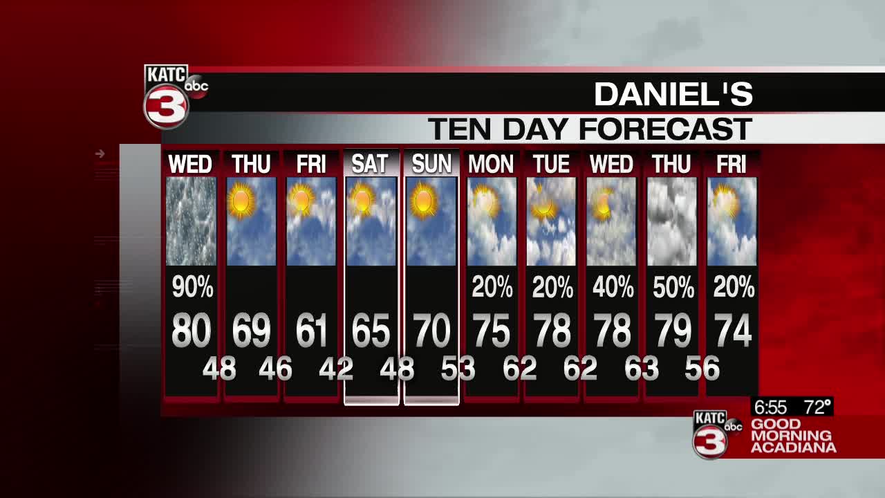
This will pave the way for a beautiful back half of the week with temperatures running much cooler and crisper with plenty of sunshine to go along with it.
Remember that forecasts evolve, and while this one has remained fairly consistent, there's still room to see some tweaks to the forecast so stay on top of it through the day.
Look for the early watches to get posted by late morning for the afternoon and be ready to receive breaking weather information through the second half of the day.
Please remain vigilant in watching the weather this afternoon and as always we'll be with you through the day.
------------------------------------------------------------
Stay in touch with us anytime, anywhere.
To reach the newsroom or report a typo/correction, click HERE.
Sign up for newsletters emailed to your inbox. Select from these options: Breaking News, Evening News Headlines, Latest COVID-19 Headlines, Morning News Headlines, Special Offers
