


More record challenging warmth is in the forecast for Acadiana as we finish the week and calendar year, but a strong front arriving late Saturday may bring some stormy weather, eventually winter temperatures, and perhaps the coldest readings of the season Sunday into Monday.
In the near term, expect another warm and humid night with a few isolated passing showers possible. Low temperatures will gain be near 70° which is the record.
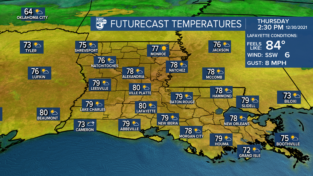
With less wind overnight through Thursday morning, areas of fog may develop across the region after midnight and persist through daybreak.

Tomorrow and Friday should be marked by less shower activity, and after morning clouds, a sun and cloud mix will be likely that will help to push our afternoon highs to record challenging levels.

Highs tomorrow will be in the 81-83° range, with 83° being the record set in 1971.
Big changes are in store for the start of the new year with a windy and warm Saturday yielding to a good chance of showers and perhaps strong storms Saturday afternoon ahead of a strong cold front that arrives by Saturday night.
The Storm Prediction Center has a slight risk of severe storms primarily north of Acadiana Saturday, probably leaving our area in a "marginal" risk, but look for additional updates on this in the days to come.

The big story will be that temperatures are expected to drop some 50° or more between the lower 80s Saturday afternoon to the upper 20s to lower 30s possible 36 hours later Monday morning.

In addition, our first legitimate freeze or freezes will be possible early next week with temperatures finally running some 10-15 degrees below normal for a couple of days.
Milder weather and eventually back to above normal temperatures are expected to return mid-next week, but today the GFS is advertising another front late next week that could bring another shot of winter temperatures back to the are for the following weekend.
See the KATC 10 Day Forecast for the latest.
------------------------------------------------------------
Stay in touch with us anytime, anywhere.
To reach the newsroom or report a typo/correction, click HERE.
Sign up for newsletters emailed to your inbox. Select from these options: Breaking News, Evening News Headlines, Latest COVID-19 Headlines, Morning News Headlines, Special Offers
