


LOWS TONIGHT: Mid-upper 70s
HIGHS FRIDAY: Mid-upper 80s
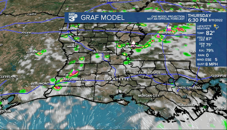
Well, the upper-level disturbance that has caused our pattern to remain unsettled continues to hug the coastline.
Thankfully, the heaviest of the rainfall has remained offshore, but still, we have been tracking tropical showers across the region this afternoon.
Expect activity to quiet down later this evening.
I think we'll see a very similar set-up to round out the week tomorrow.
Heaviest of the showers likely once again setting up offshore with scattered activity eventually building inland by the afternoon (soft 60%).
Brief, heavy downpours will be possible at times, but I do expect things to be moving along quickly.
In short, the day itself will not be a washout, but plan to doge one or two passing showers.

That disturbance will continue to track westward towards Texas heading into the weekend.
Our rain chances will come down slightly, especially by Sunday, but scattered downpours will remain in the mix due to the sea-breeze.
It does appear that slightly drier air will work in for the start of next week to help lower rain chances further.
We'll continue to monitor how the pattern evolves with time.
Have a good one!
TROPICS
Although nothing is highlighted by the National Hurricane Center (NHC), the area of disturbed weather off our coastline may try and get a little better organized before running into Texas this weekend.
Not a concern for us, but something interesting to keep an eye on.
Rest of the tropical Atlantic remains too hostile for tropical development at this time.
------------------------------------------------------------
Stay in touch with us anytime, anywhere.
To reach the newsroom or report a typo/correction, click HERE.
Sign up for newsletters emailed to your inbox. Select from these options: Breaking News, Evening News Headlines, Latest COVID-19 Headlines, Morning News Headlines, Special Offers
