


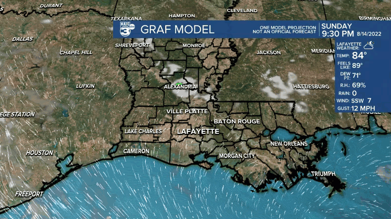
LOWS TONIGHT: MID-70S
HIGHS MONDAY: LOW-MID 90S
DISCUSSION
The tropical disturbance that has kept the pattern unsettled finally moved enough westward into Texas today to help lower our rain chances.
A pretty quiet night ahead as lows settle into the mid-70s under fair skies.
A drier flow aloft, coupled with a reduction in low-level moisture at the surface, will keep us mostly dry as we start the new week Monday.
Rain chances will be down to 10% as the heat will be on.
Plan on highs to push the low-mid 90s under mostly sunny to partly cloudy skies.
Rain chances staying relatively low through about Wednesday.
By the end of the week, a frontal trough advancing southward, along with increasing low-level moisture will once again bring an increase to our rain chances.
Scattered storms will look to remain in the forecast through the upcoming weekend as well.
Overall, a pretty routine August weather pattern in Acadiana.
Have a great week!
TROPICS
Invest-98 moved into Texas on Sunday bringing much needed rainfall to that part of the state.
Other than that, the tropics remain quiet at this time.
------------------------------------------------------------
Stay in touch with us anytime, anywhere.
To reach the newsroom or report a typo/correction, click HERE.
Sign up for newsletters emailed to your inbox. Select from these options: Breaking News, Evening News Headlines, Latest COVID-19 Headlines, Morning News Headlines, Special Offers
