


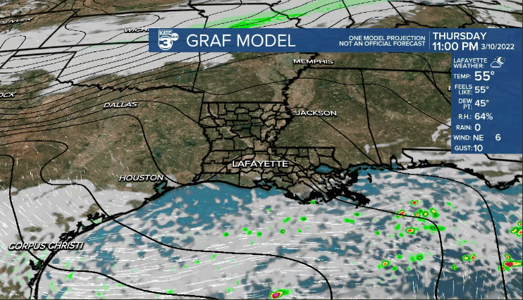
Cool, but not quite as chilly tonight.
Upper 40s for northern parishes as the rest of us will be in the low-mid 50s.
Clouds will be building back into the area late tonight and into Friday morning.
A few scattered showers may be out there for the morning commute (30-40%).
And that's pretty much where rain chances remain for most of the day—> on a scattered basis.
Temperatures will look to top out in the low-mid 70s by the afternoon.
Highest rain chances arriving Friday evening as the main upper-level impulse moves in.
Severe weather is not anticipated, although the SPC is maintaining a level 1 out of 5 risk for southeastern portions of Acadiana (gusty winds primary threat).
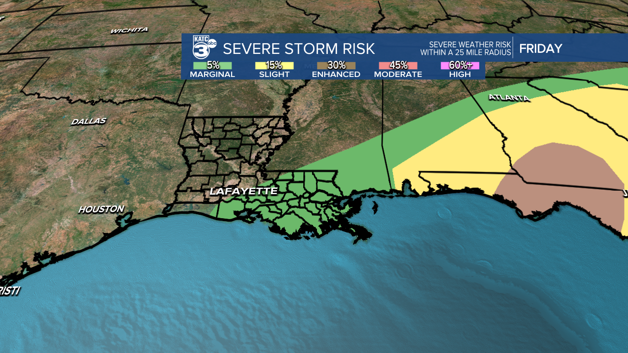
Furthermore, rain totals look to be less than 0.50" for most of us.

Rains will taper by midnight Friday night.
Turning much colder and windy behind this system with readings heading for the mid-30s Saturday morning
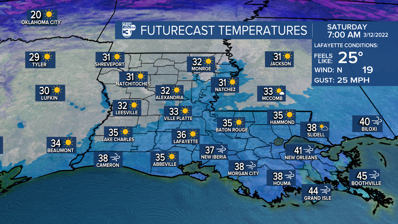
Wind chills will be in the mid-20s!
We'll be close to freezing Sunday morning, so be sure to protect the plants this weekend!
The good news is that we'll see a decent amount of sunshine this weekend.
Highs struggle to reach the lower 50s Saturday before pushing the lower 60s come Sunday afternoon.
We then resume our spring-like weather pattern into next week as highs return to the 70s.
Next chance of rain arriving late Monday into early Tuesday.
------------------------------------------------------------
Stay in touch with us anytime, anywhere.
To reach the newsroom or report a typo/correction, click HERE.
Sign up for newsletters emailed to your inbox. Select from these options: Breaking News, Evening News Headlines, Latest COVID-19 Headlines, Morning News Headlines, Special Offers
