TONIGHT: Mild & quiet
MONDAY: Extremely hot; few storms possible late
DISCUSSION
The summer of 2023 just will not let up.
Quiet conditions overnight as lows head for the mid-upper 70s under fair skies.
More extreme heat on the way for Monday.
Expect highs to push into the triple digits with peak heat indices ranging 108-115°.


With that said, a disturbance will try and roll on in late in the afternoon which could generate a scattering of showers and storms—models still in disagreement if complex of storms hold together this far south.

At any rate, with all the heat building throughout the day, any storms that get going could be on the stronger side.

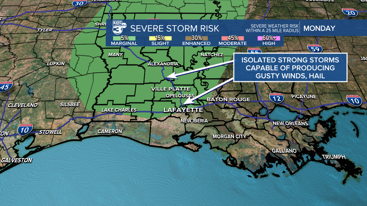
SPC has portions of Acadiana hatched in for a marginal risk (level 1) for severe weather--gusty winds being the primary threat.
Outside of that, dangerous heat will dominate the story all week long.

Stay cool, hydrated and take plenty of breaks if outdoors!
Have a great week!
TROPICS
Two areas of interest out in the Atlantic basin.
None of these features present a threat to the Gulf nor us in Acadiana.

The feature in the central Atlantic has a high chance of becoming a depression in the days ahead.
If it were to achieve tropical storm status, the name would be Emily.
But again, this system will remain out in the open waters of the Atlantic.
------------------------------------------------------------
Stay in touch with us anytime, anywhere.
To reach the newsroom or report a typo/correction, click HERE.
Sign up for newsletters emailed to your inbox. Select from these options: Breaking News, Evening News Headlines, Latest COVID-19 Headlines, Morning News Headlines, Special Offers


