


Some serious heat is on the way for the deep south through the weekend and for much of next week.
Expect highs to push the mid-upper 90s.
Long-range models continue to insist on even triple-digit readings for some heading into next week.
Widely scattered pop-up storms will be possible Saturday afternoon and early evening (20-30%).

Heat index values will push near 102°-106° into the afternoon.

As I have been saying all week, make sure you are staying hydrated and taking plenty of breaks if you have to be outdoors.
Similar set-up heading into Sunday with rain chances a tad lower at 15-20%.
A large ridge of high pressure (heat dome) will really flex its muscle across the region next week.
As a result, rain chances will be limited to 20% as the heat continues to dominate the narrative.

Might be a good idea to check in on a neighbor to make sure they are prepared (making sure A/C is working properly, etc).
Have a great weekend and stay cool out there!
TROPICS
Area of disturbed weather near central America continues to only have a slim, 10% chance of development in the next 5 days
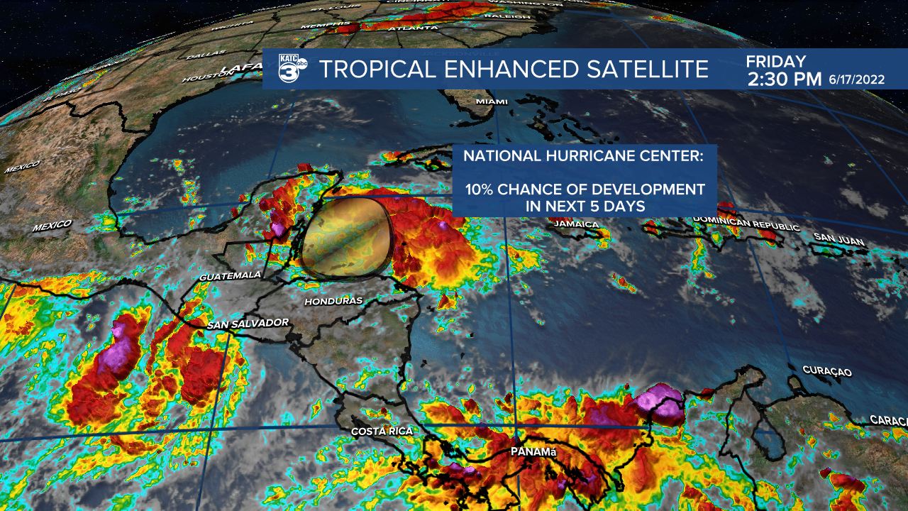
All the moisture will remain well to the south and west of Acadiana.
Rest of the tropics are quiet at this time.
------------------------------------------------------------
Stay in touch with us anytime, anywhere.
To reach the newsroom or report a typo/correction, click HERE.
Sign up for newsletters emailed to your inbox. Select from these options: Breaking News, Evening News Headlines, Latest COVID-19 Headlines, Morning News Headlines, Special Offers
