After a picture perfect weekend for Festival International we are going to be moving towards a warmer and more humid pattern for the new work week.
You might have begun to notice the humidity creeping up today as winds have been steady out of the south pumping Gulf of Mexico moisture over Acadiana as dew points are in the upper 50s to near 60s.
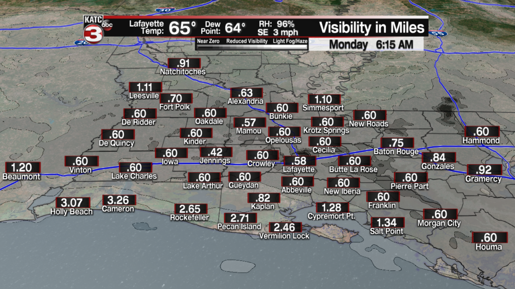
This moisture will lead to the possibility for areas of patchy to dense fog the next several mornings dropping visibility to below a half mile in spots.

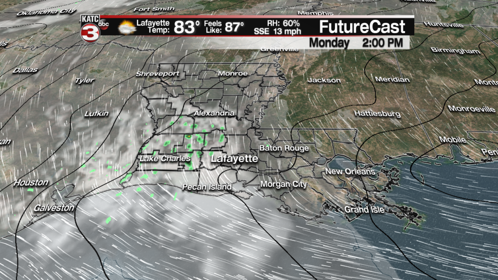
The fog should mix out pretty quick and we will have a couple warm days with highs in the mid 80s Monday and Tuesday.

And it will also start to stay mild at night this week as lows will only fall into the upper 60s to lower 70s, so its that time again where the A/C will be running nonstop.
Also, with the persistent southerly flow this week one or two stray showers will be possible each afternoon.

The models continue to go back and forth as far as the timing of our next system but as of the latest runs it looks like it will be Friday afternoon/evening before we see our best chance for scattered showers in Acadiana.

This system could then stall along the coast keeping slight rain chances(30-40%) in the forecast for next weekend but neither day will be a washout.

And looking at the long range models the set-up does not change much meaning for the following week more warm and humid conditions with a few pop-up showers possible each afternoon.

