

LAFAYETTE PARISH — As Acadiana prepares for heavy rainfall, officials with the Teche-Vermilion Fresh Water District are closely monitoring the Vermilion River and the broader water system that helps move stormwater through the region.
"It's very critical that this river be able to handle the amount of water that drains into it," said Donald Sagrera, executive director of the Teche-Vermilion Fresh Water District.
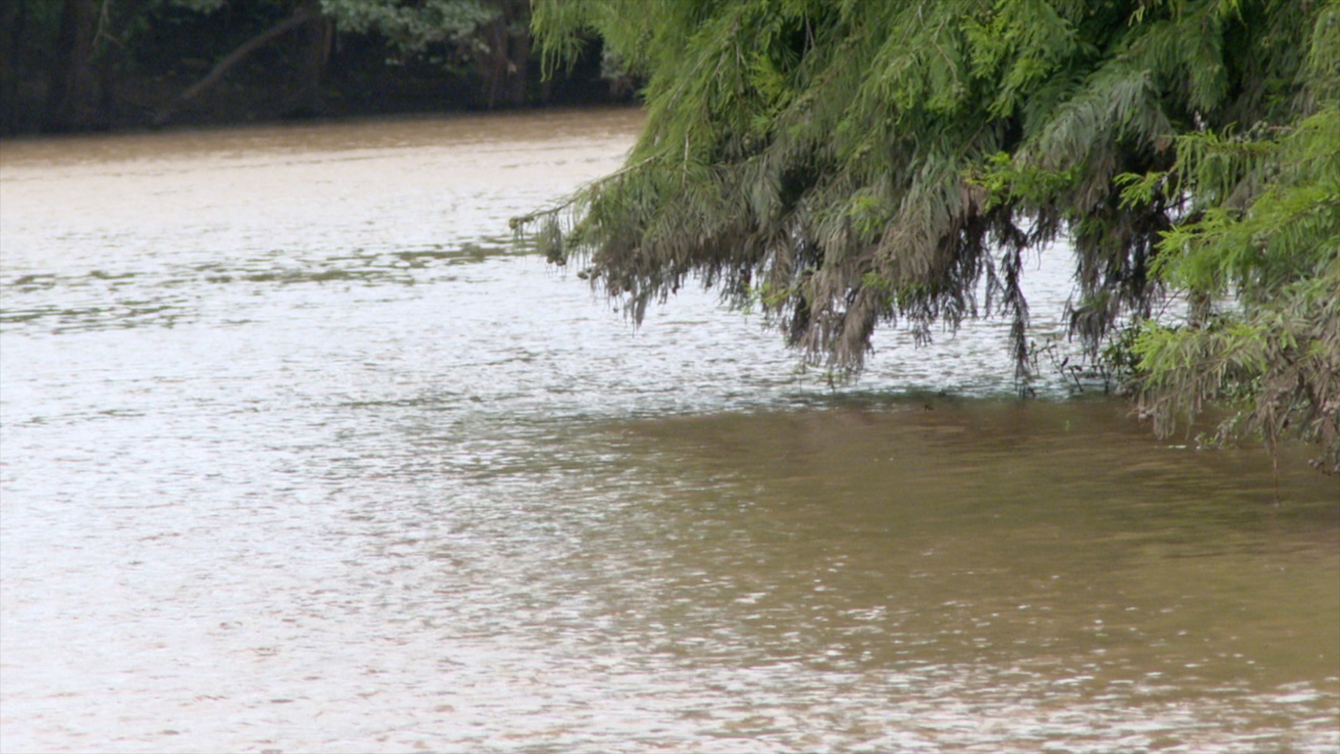
The Vermilion River system stretches approximately 70 miles from the Lafayette Parish line to Vermilion Bay. Sagrera said tributaries and coulees throughout the watershed contribute runoff to the river, making them important areas to monitor during significant rain events.
"If you get a heavy rain in a short period of time, these tributaries send more water to the river than the river can handle, so the river increases in elevation," Sagrera said.
According to Sagrera, heavy rainfall can cause some portions of the river system to temporarily reverse flow. When large amounts of runoff enter the system, water can move north into surrounding swamp areas rather than continuing south toward Vermilion Bay.
"Then after that swamp area is full and the rain stops, all of that water has to flow south, eventually into Vermilion Bay," Sagrera said.
The district continuously monitors weather conditions, river elevations and water flows throughout the system. Those factors help determine whether pumping operations are necessary to maintain water movement and prevent stagnation, pollution and saltwater intrusion.
"Then we have pumps that we can run, we can introduce Atchafalaya River water into this, into these water bodies to make sure that there is a continuous flow," Sagrera said.
Sagrera said the Vermilion River is currently sitting just above 7 feet, roughly 1 to 1.5 feet above normal levels. Because of the rainfall the region has received in recent months, he said the district has not needed to pump water into the system since the end of April.
As part of its storm preparations, the district may adjust pumping operations and water control structures based on forecasted conditions.
"Reduce or stop pumping, close Ruth Canal, open Louisville Canal structure — those are the three things that we do in preparation for storm events," Sagrera said.
Sagrera said his team will continue monitoring river levels and conditions throughout the storm to evaluate how the system responds to incoming rainfall.
