

After a record setting December for warmth, January is looking more like...well, January! Temperatures are dropping below the freezing point across most of the region, and even temperatures in the 20s over the northern sections. A hard freeze warning will remain in effect this morning for the northern areas of Acadiana. Temperatures here will drop into the mid to upper 20s. Meanwhile, a freeze warning will stay in place this morning for the southern half of the region with lows dropping between 30 and 32 degrees.
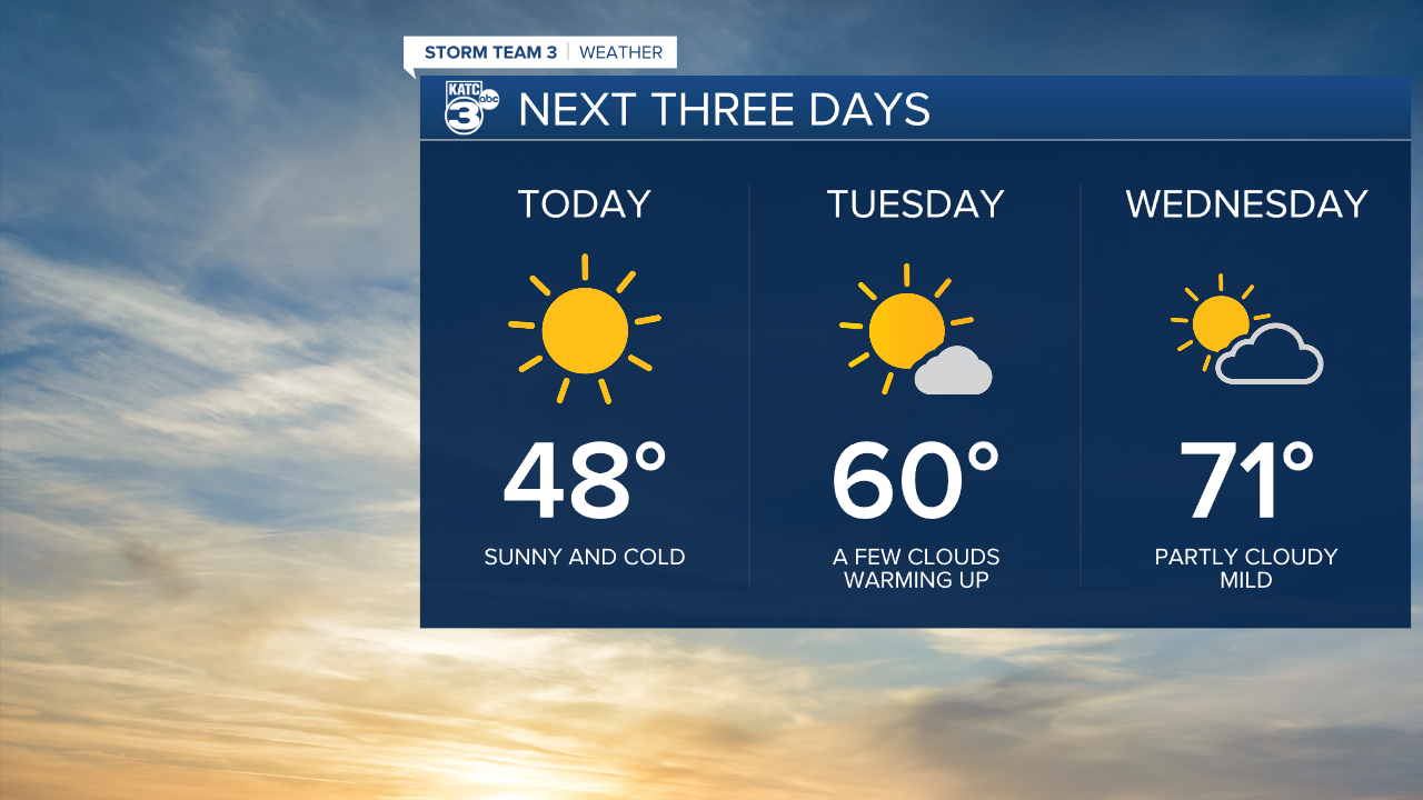
High pressure will dominate the forecast today. Expect sunny skies, with highs in the upper 40s. Winds will be brisk early in the day, then diminish later this afternoon. Another freeze is expected overnight. Skies will remain clear, with lows in the upper 20s north, lower 30s south. More sunshine is expected Tuesday, with highs near 60, which is normal for this time of year.

By Wednesday, we'll see temperatures in the lower 70s with a slight chance for a shower late. A mix of sun and clouds for Thursday with highs in the lower 70s. A front will swing through with chilly weather again Friday, then another warmup for the weekend with another chance for rain.
