


After reaching the mid-70s Wednesday afternoon, a cold front will bring typical winter temperatures back to Acadiana Thursday.

Look for Thursday morning lows to drop into the upper 30s to lower 40s with a wind chill taking another 5° off the actual temperatures!

Look for full sunshine with highs in the low-mid 60s for our Thursday.

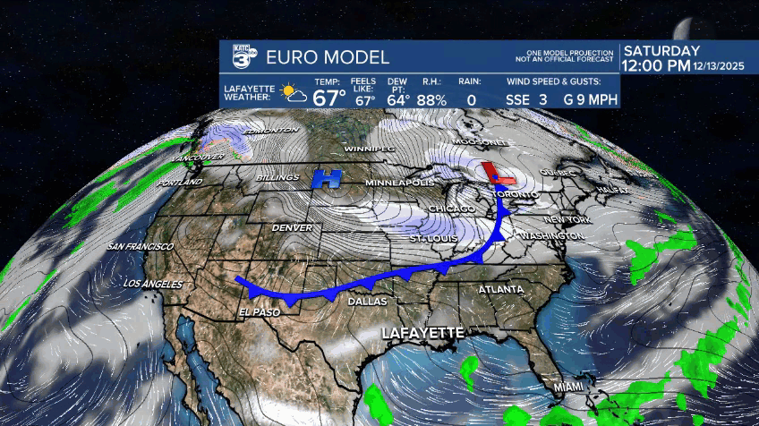
Temperatures will begin to moderate Thursday night with daytime highs pushing into the mid-70s Friday and Saturday under partly cloudy skies.
Rain chances may nudge up to 10% Friday as warmer air moves back in from the Gulf.
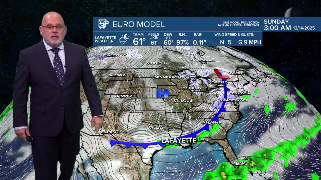
Our next front is expected to arrive Saturday night, with rain chances near 20% with mostly cloudy skies during the day, rising to a 60% chance of showers Saturday night ending Sunday morning.
Sunday looks to be a blustery day with breezy and much cooler conditions returning to the area.
Highs Sunday may stay in the 40s with temperatures Sunday night into Monday morning shaping up to be the coldest so far this winter.
Readings could drop into the upper 20s to lower 30s come Monday morning...not quite a hard freeze for most of the area, but getting close to that for the northern most parishes of Acadiana...stay tuned, as it could get a little colder in subsequent forecasts in the days ahead.
After a cold start next week, look for milder temperatures to return along with a decent chance of rain by mid-week.
See the KATC 10 Day Forecast for the latest.
