
A cold front pushing through the area will gradually increase the winds and decrease temperatures. A cold, Canadian air mass will keep temperatures chilly for the next couple of days before warming up for the weekend.
The front did manage to bring a round of severe weather, including here in Acadiana. At least two unconfirmed tornadoes were reported in Louisiana, while dozens were reported across Mississippi. The full extent of the severe weather outbreak will be better known as the day goes on.

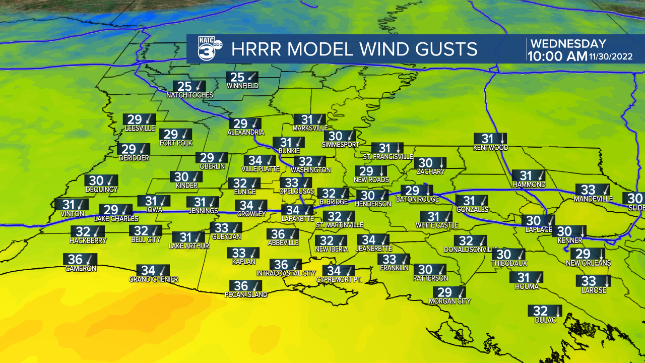
Now that the storms have moved on, gusty northerly winds will kick in this morning. Even though temperatures may be mild to start the day, make sure to grab a jacket. Temperatures will fall into the mid 50s by the afternoon, and with winds over 20mph, wind chills will be in the 40s. Sunny skies should return late this morning, and clear skies are expected into the afternoon.

Tonight, winds will relax, and temperatures should drop into the upper 30s under clear skies. Sunshine returns for Thursday, temperatures will stay on the cool side with highs in the low to mid 60s. Warmth returns for the end of the week with Friday's highs back in the 70s under partly cloudy skies. It stays warm and muggy this weekend, with a slight chance for showers. Highs will hover near 80 degrees.

A reminder, hurricane season ends today. Although the final results were more on the lower end of some of the pre season forecasts, 2022s numbers were very close to an average hurricane season. Even with the lower numbers, damage estimates (so far) are over $50 Billion, and over 300 lives were lost due to storms over the Atlantic Basin.
