


While winds won't be quite as strong out there today it still looks like we'll be dealing with some gusty winds through the course of the day.
Those winds remain out of the south and are blowing around 10-15 mph with gusts pushing 20-25 mph which is in turn keeping today's fire danger elevated.
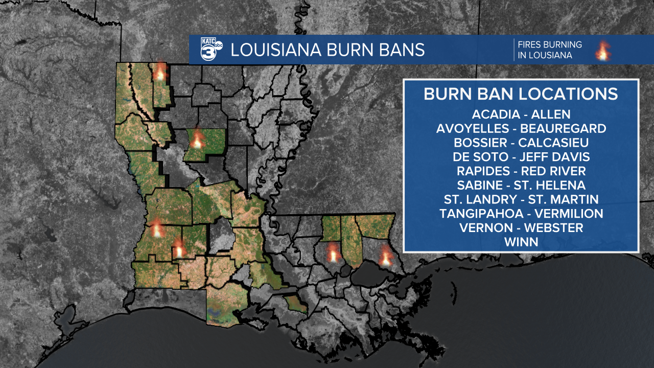
There's still numerous burn bans across the state so be sure to check with officials before burning anything, remember how dry we've been lately and how easy it will be for those winds to spread any stray flames.
We should start to get some relief from fire risk over the next 24 hours as dewpoints continue to climb and we may even get a few light passing showers later tonight.
Any rain we see will be very isolated and won't have much of an impact, still something is better than nothing.
Wet weather will be wrapped up by early Friday morning and after a cloudy couple of days we should get some decent sunshine by Friday afternoon.
Temperatures are going to remain on the high side even after this most recent front and we're looking at a string of days consistently getting into the 80s in the afternoon.
Little to no change is expected through the weekend or most of next week.
