


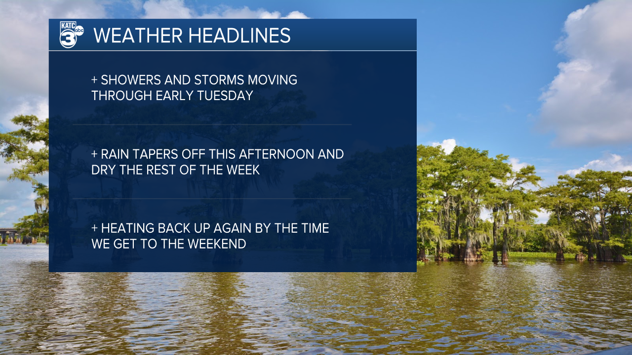
A lingering frontal boundary will make for another soggy start to the day on Tuesday as showers are already popping up along Louisiana's coastline.
While the rain isn't expected to last as long as Monday, they'll still be a decent chance you have to commute through some of the rain on the way to work.
As always tropical downpours can lead to pooling water on roadways, so if you typically drive through places that are prone to flooding give yourself some extra time to get to work.
The rain should taper off a little earlier today, while cloud cover will remain stubborn into the afternoon limiting those temperatures to the lower 80s.

Once the rain is done on Tuesday we'll start to get back to a more traditional forecast for the summer time, with spotty afternoon showers arriving Wednesday ahead of a ridge that will build for the weekend.
That ridge, while heating us back up, will give us at least a few days to dry out with rain chances collapsing on Thursday through the rest of the weekend.
Highs will return to the 90s with triple digit heat indices and Acadiana will get back to feeling like summer.
