


It's starting to look that Acadiana's weather will be rather unsettled into this weekend, with perhaps a wet and eventually a cooler Easter Sunday as our next cold front arrives this weekend.
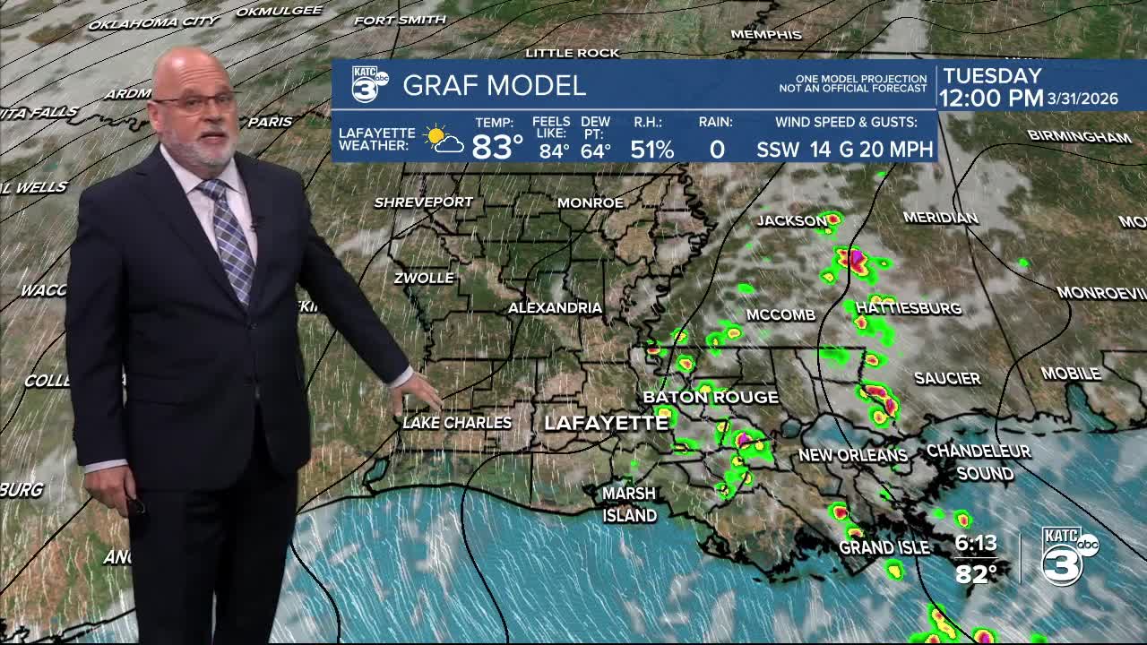
In the near-term look for seasonably warm and humid conditions this week with the chance of a few widely scattered showers through Wednesday, and a slightly better chance of rain and a few thunderstorms Thursday.

Persistent southerly winds will hold our lows closer to he upper 60s to near 70° while daytime highs should reach into the low-mid 80s under a sun and cloud mix.
The pattern remains unsettled Friday into Saturday with a few showers and likely more cloudiness before our next cold front arrives around Easter.
Models promise a good chance of rain Sunday, and there could be some healthy thunderstorms ahead of the front starting as early as late Saturday night.

It's too early to say however, whether there will be any severe weather threat, but we'll be able to get a better feel for that as the week wears on.

Plus, rain total forecasts will also change, but for now, we can expect somewhere between 1/2 inch to 1.5" of what is becoming needed rain between the scattered showers this week, and the potentially wetter system this weekend.

After the weekend, look for sunny an cooler weather for several days into next week.
Please consult the KATC Radar and 10 Day Forecast for the latest.
