

A weak frontal boundary will push toward Acadiana Friday afternoon likely igniting a good chance of showers and thunderstorms, with lingering showers possible into Saturday.
In the near term, look for another relatively hot and more humid Thursday with a slight chance of an afternoon shower or thunderstorm.
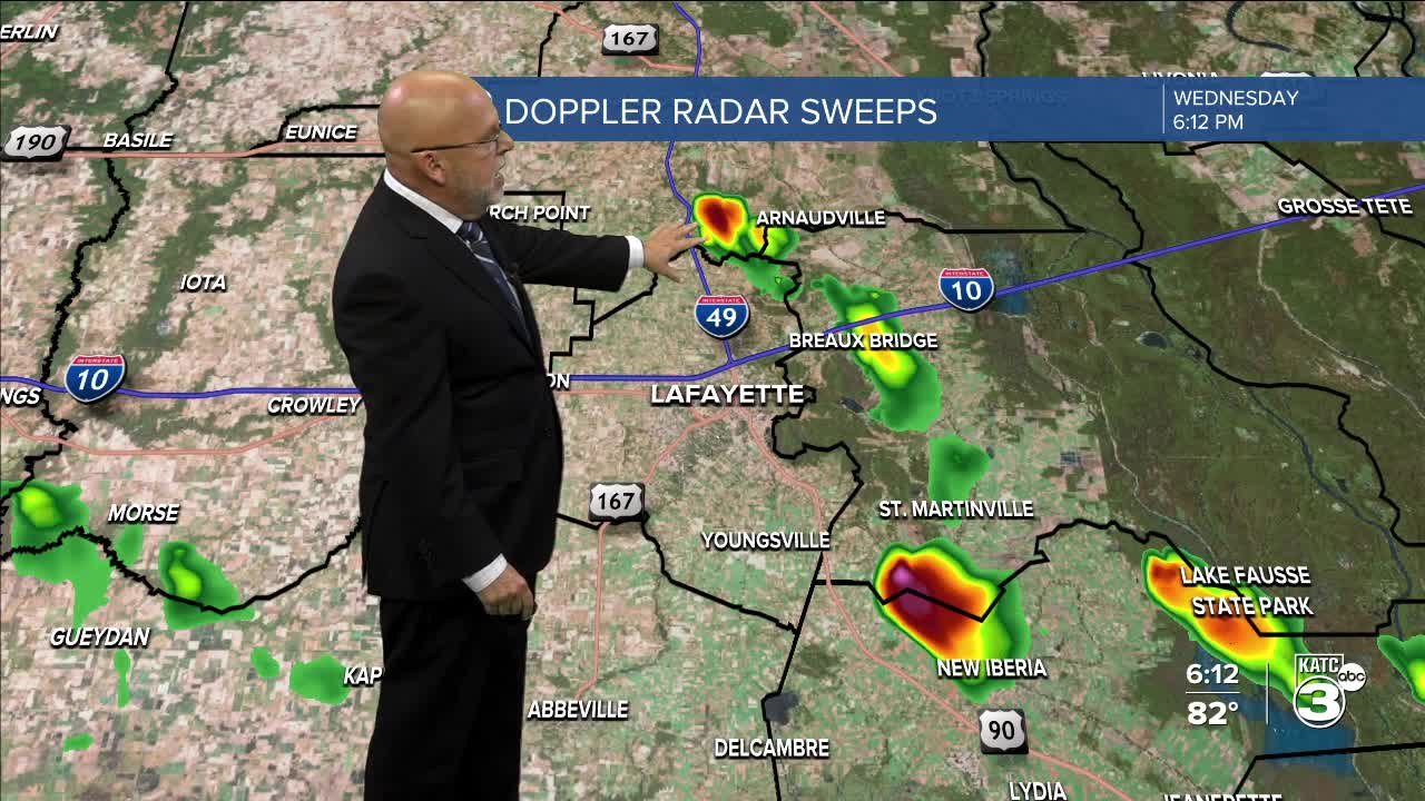
Rain chances Thursday will be near 20-30%.
The chance of showers and potentially some strong thunderstorms will be likely for Friday into Friday evening.

The Storm Prediction Center has portions of Acadiana and Southwest Louisiana hatched in for a marginal risk of a few severe storms that could potentially produce damaging winds.
Scattered showers look to lag behind the frontal boundary Saturday with lower humidity and a relatively nice Sunday and Monday expected, unless the front stalls inland instead of offshore in the Gulf.
This front should bring much needed rain to some areas with totals generally in the 1-2" range...isolated amounts up to 3-4" will be possible.

Another weak front may be on the way later next week, but fall-like temperatures won't be behind that one either...but lower dew points and humidity will.
See the KATC 10 Day Forecast for the latest.
Outside of the nearly faded Tropical Storm Fernand in the North Atlantic, the tropics are quiet.
Lastly, today is the horrible anniversary of Hurricane Laura making landfall 5 years ago.
More on Laura below:
