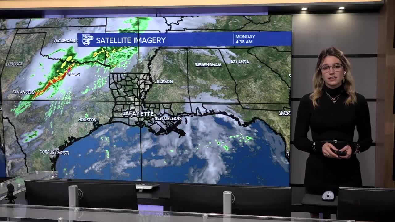


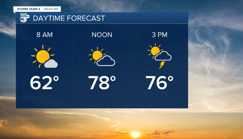
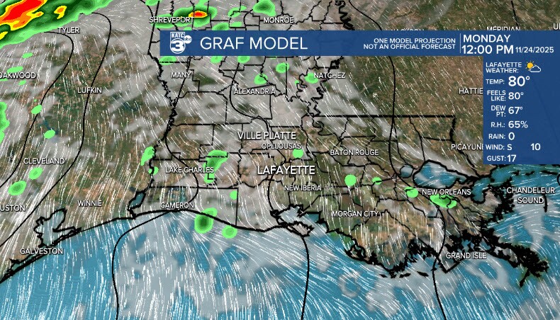
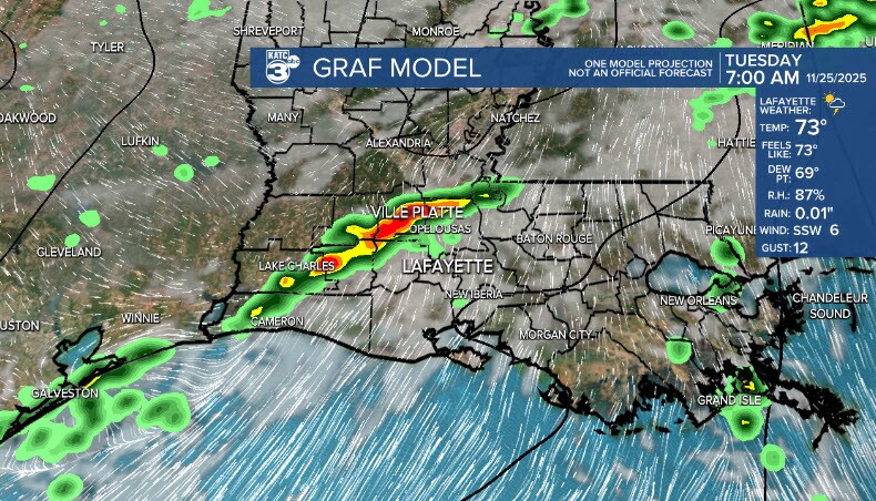
The weather pattern is about to have a big change for Acadiana and do a little flip on us as a warm front pushes into Acadiana throughout our Monday, leading to some possible isolated to scattered showers this afternoon. We warm up and get a bit more muggy as the day goes on, with an expected high of around 80 degrees, setting us up for the chance for some strong to severe isolated storms on Tuesday as a strong cold front makes it way across Louisiana.
The SPC has us hatched in for severe weather risks on both Tuesday and Wednesday, but we are currently outside of the Excessive Rainfall Outlook, though that can be subject to some wiggle room. Severe weather threats are low but include possibly damaging hail, wind, and a possible isolated tornado. We will be watching the progression of this front closely.
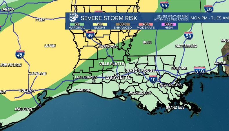
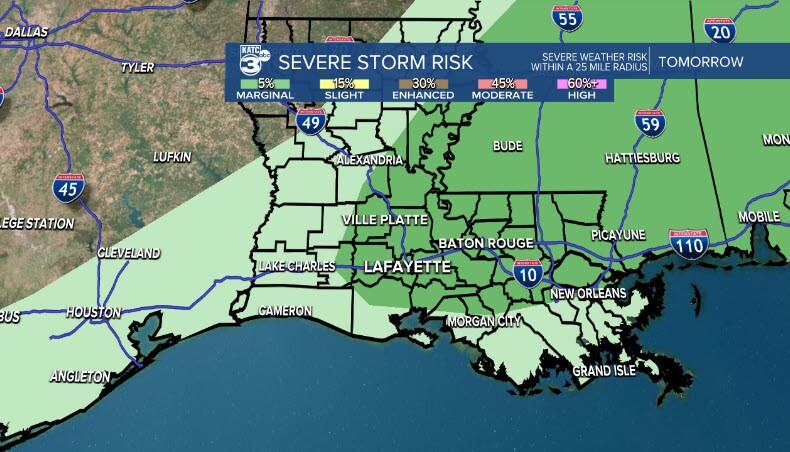
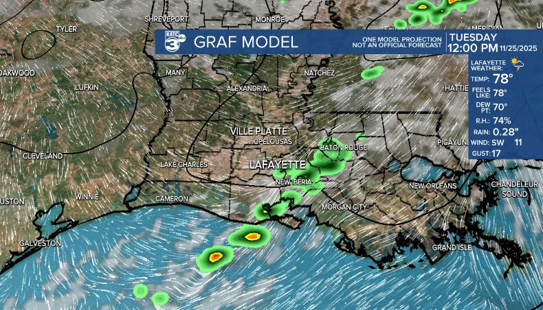
Models have some disagreement, leading to some inconsistency in confidence on timing. Going with the GRAF, storms look to push through early Tuesday morning, and out of the area by Tuesday PM, but we are watching model outputs closely for verification on that.
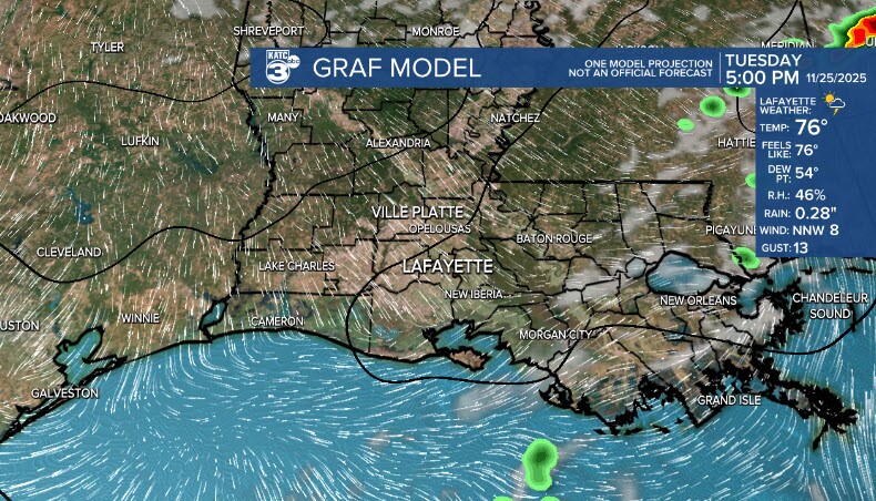

After the skies calm down, winds will shift and temperature will drop just in time for a crisp and clear Thanksgiving.

