


Unseasonably warm and humid weather will continue for Acadiana into the weekend, but a strong cold front will bring the area back to a winter-like reality by late Saturday night.
In the near term, it will be another very mild and humid night for the area with a few brief, isolated showers possible (20%) along with areas of sea fog moving in Friday morning.

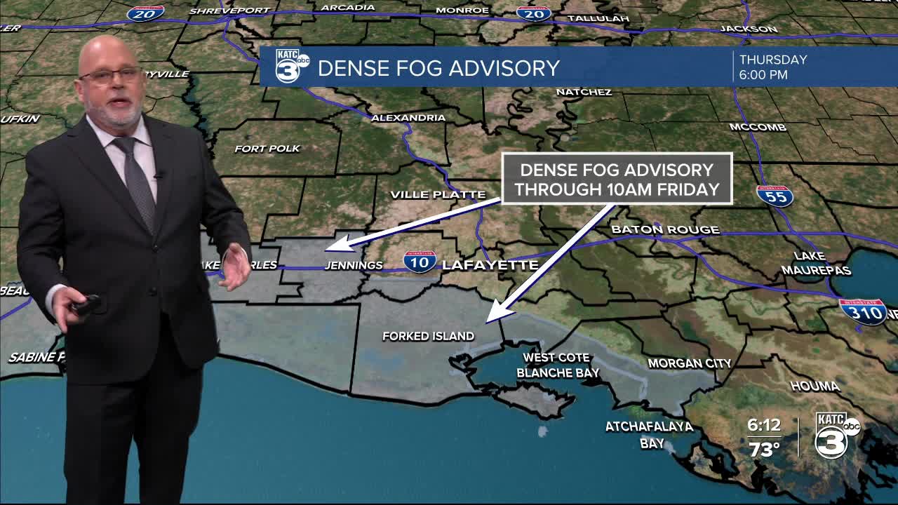
A Dense Fog Advisory is in effect for portions of Acadiana, particularly the coastal parishes through 10:00 am Friday.

We could see another round of fog for Friday night into Saturday morning, especially along the immediate coast.

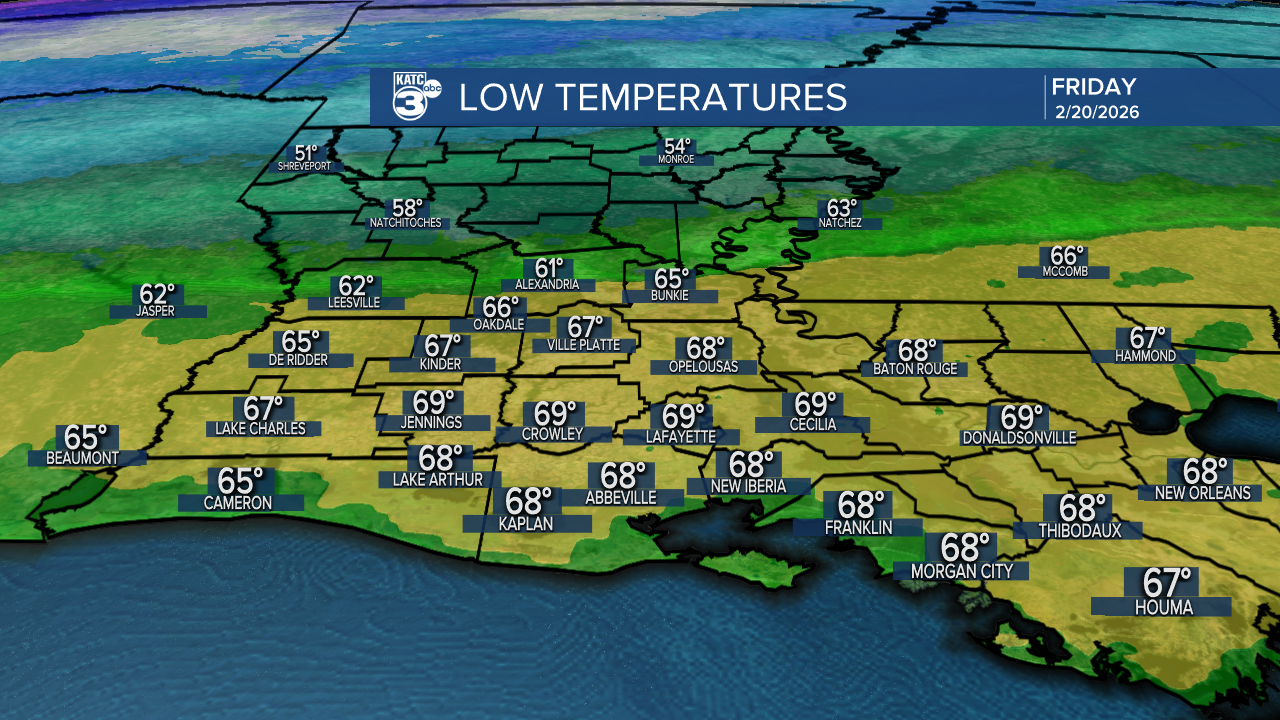
Low by morning will be in the upper 60s to near 70° (which is the record "warm" low).
After morning fog and clouds, look for another warm day for the area with highs topping out near 80°.

A few isolated showers will be possible just about at any time during the day.
After perhaps another foggy morning Saturday, a cold front will sweep through the area in the afternoon/early evening hours and with it a few scattered showers, possibly an isolated thunderstorm.

There should be no severe weather dynamics in play for this front.
Behind the cold front, it will be windy and sharply cooler with temperatures dropping into the 40s Sunday morning and holding in the upper 50s to lower 60s under full sun Sunday.
The coldest air with a secondary push of high pressure will arrive Monday setting up for the coldest readings that we may see perhaps for the rest of the spring.
Lows will be in the low-mid 30s by Tuesday morning with a light frost/freeze possible especially for the northern parishes of Acadiana.

Thereafter, spring-like temperatures return later next week and should into the following weekend.
See the KATC 10 Day Forecast for the latest.
