
We had a chilly cold front sweep through last night, bringing along some showers and a few lingering drizzles this morning.
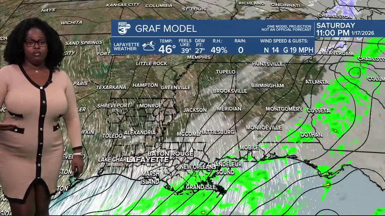
Tonight, we're expecting a light freeze with temperatures dipping into the upper 20s to low 30s.

The breezy winds will make it feel even chillier in the 20s!

Georgia and a small piece of Florida are in for a sweet winter treat tonight! Winter Weather Advisories and Winter Storm Warnings will kick in tonight.

While some areas could see accumulations of 1-3 inches, others might get up to 1 inch. It’s all about the positioning of the front, surface temperatures, and moisture levels. Forecasting snow in the South is definitely no easy task!

Tomorrow's high will only reach the low 50s ☀️, so bundle up!

Looking ahead, another light freeze is on the horizon for Sunday night as temperatures fall back into the 20s and 30s.

By Monday afternoon, we’ll finally warm up and see temperatures soar into the 60s for a much milder start to the week.

Follow Meteorologist Breyanna Lewis for further updates.
See the KATC 10 Day Forecast for the latest.
