



Acadiana is in a very typical pattern for July with hot and humid conditions accompanied by some cooling, scattered showers and storms into the afternoon hours.
A slight weakness (or lack of high pressure) in the upper atmosphere, combined with daytime heating and our humid air, has been resulting in scattered mainly afternoon showers and storms over the several days with more of the same on tap this week and into the weekend.
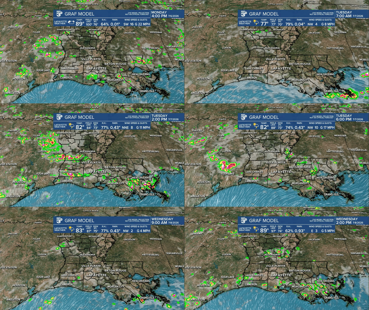
There will be subtle day to day changes on the amount and coverage of showers and storms each day with chances of getting wet generally between 30/40% to 60%.
Away and before the storms, it will be hot and humid with highs reaching the upper 80s to lower 90s each day, but those highs will dependent on thunderstorms coverage and timing.
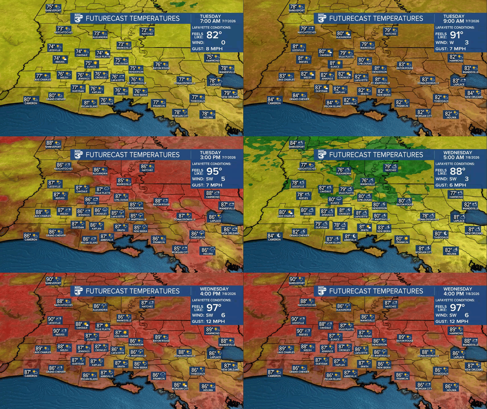
Overnight lows will stay planted in the mid-upper 70s.
There are some hints that rain chances and threat of more widespread storms and heavier rains could develop into this weekend through mid-next week.
See tha KATC 10 Day Forecast and the Power Doppler 3 page for the latest.
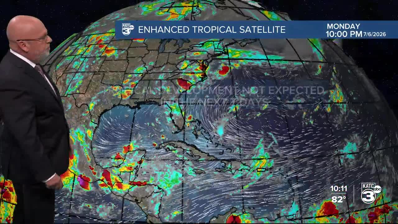
Meanwhile in the tropics, all is quiet across the Atlantic Basin and is expected to stay this way for another couple of weeks!

Meanwhile in the Western Pacific, Super Typhoon Bavi directly hit Rota last night with 180 mph winds, and skirted just north of Guam and impacted some of the Northern Marianna Islands yesterday.

Next up, Taiwan and China later this week and into the weekend. Latest on Bavi: Typhoon Warning Center.
