


A good chance of scattered tropical showers and thunderstorms are expected for Acadiana Saturday as a weak tropical wave moves in from the Gulf.
Our day shouldn't be a washout, but do expected a few rounds of "on and off" activity from mid-morning through the afternoon, with activity tapering into the evening hours, and perhaps we get a picturesque tropical sunset!

There will be a few brief torrential downpours in spots Saturday, and at the onset of some activity, it would not be surprising for a few brief funnel clouds to develop.
High temperatures Saturday will be in the mid-80s with humidity increasing as the wave passes during the day.
Rain chances Sunday are set at 40%...they could go higher or lower depending where the residual tropical wave moisture remains.
Temperatures Sunday should top out in the upper 80s as humidity brings the heat index into the mid-upper 90s.
Rain chances are expected to ease into next week (10-30%) allowing for our first taste of summer heat and high humidity for the bulk of the week.
Heat index values will likely approach and stay near 100° each afternoon most, if not all of next week.
We could see higher rain chances return around next weekend as deeper tropical moisture and a disturbance may be lurking in the Gulf.

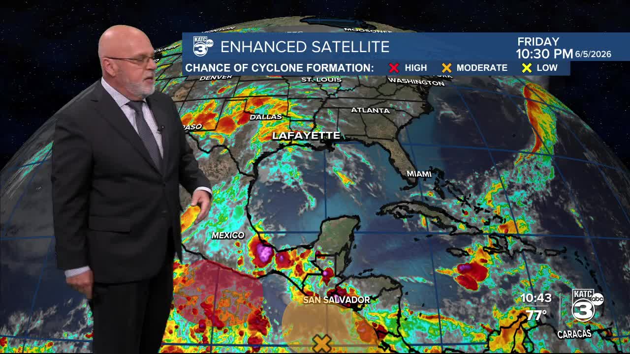
See the below post for the full tropical discussion:
The latest 10 Day Forecast and radar updates can be found here. Have a great weekend!
