


A tropical disturbance will move westward across the northern Gulf over the next couple of days bring an enhanced chance of showers and thunderstorms to Acadiana through the end of the week, and perhaps the first part of the weekend.

Per the National Hurricane Center (NHC), this system has little chance of significant development.

Nonetheless, expect enhanced chances of showers and storms for Acadiana/Southern Louisiana Thursday into Friday.

Rain totals for Acadiana through Saturday are expected to be in the 1-3" range with lower amounts to the north and higher amounts to the south, with isolated up to 5-6" possible in a few spots, especially toward the coast.

While we are not expecting widespread severe storms, a few tropical cells Thursday may have strong and gusty winds, and of course brief, torrential downpours and frequent lightning.
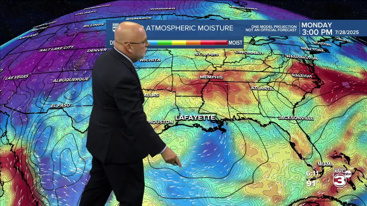
Moisture and rain chances will ease by the latter part of the weekend, with high pressure moving int early next week to bring more sun and high heat.
Daytime highs Thursday through Saturday should be closer to the mid-upper 80s...thereafter, it's back into the low-mid 90s Sunday and closer to mid-90s Monday and Tuesday.
Yet another disturbance is expected to run into the area mid-late next week, enhancing our rain chances once again, and making it three for three in consecutive weeks.

See the KATC 10 Day Forecast for the latest.
