


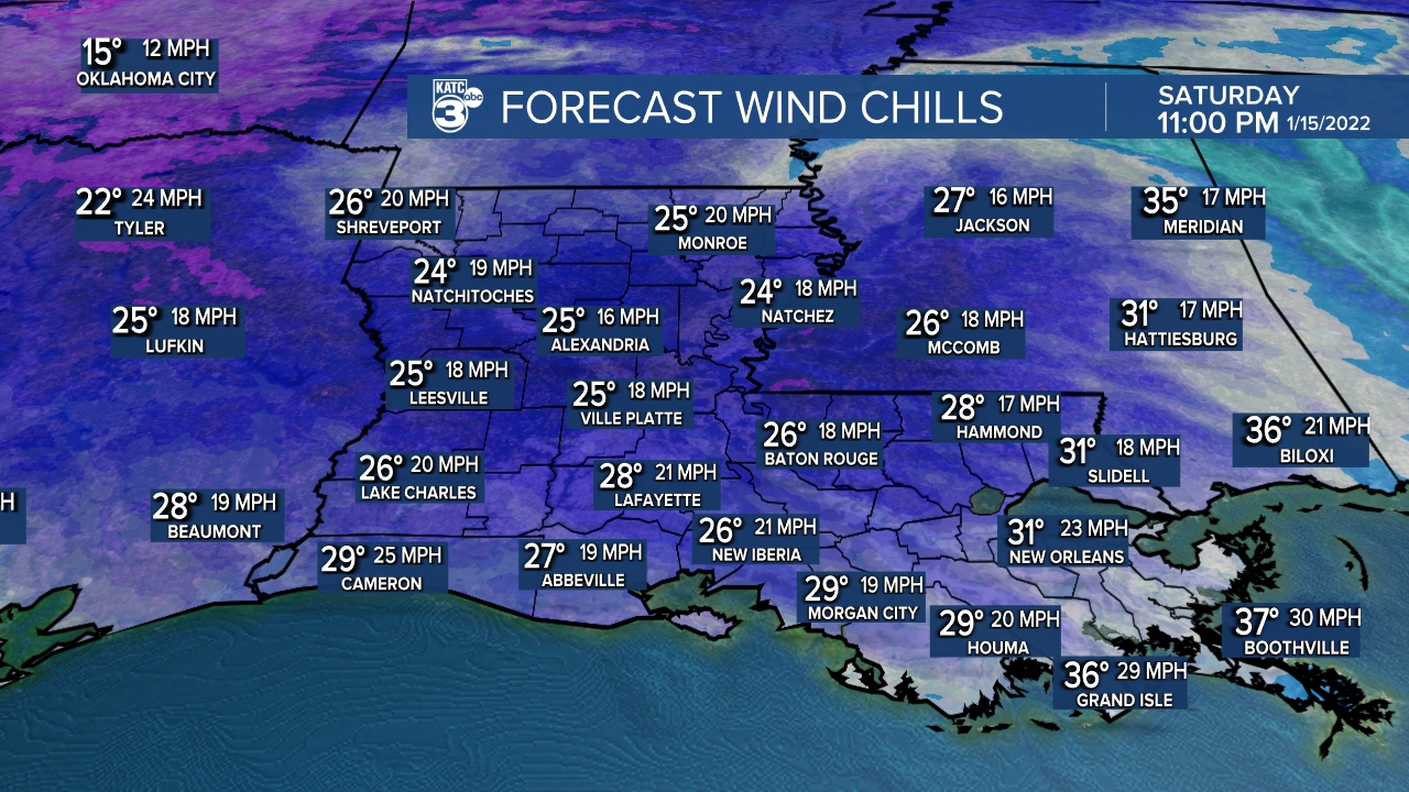
If you'll be out late enough this evening, it will be feeling like the 20s courtesy of gusty northerly winds, so bundle up!
Wrap-around clouds will move in late tonight and stick around through tomorrow morning.
We'll actually see temperatures rise just a bit into the upper 30s by daybreak Sunday (overnight lows will occur around midnight or a couple hours thereafter), but it'll still be feeling like the upper 20s to lower 30s.

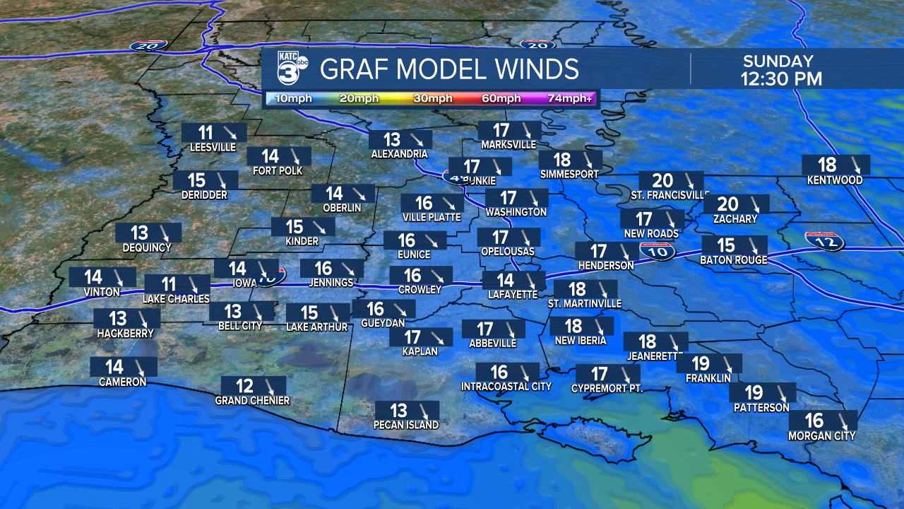
Wind-chilly day Sunday as the sun returns by the afternoon with highs only in the low-mid 50s.

Winds will stay breezy out of the NNW.
Those winds will begin to relax Sunday evening/night.
And with clear skies, temperatures will be heading for the middle 30s Monday morning.
Really nice weather anticipated for MLK day as high pressure settles in.
We'll see plentiful sunshine with highs reaching the upper 50s to lower 60s.
Moderating temperatures by Tuesday and Wednesday as high pressure slides to our east.
Next front will arrive on Wednesday, and that's when we'll see our next chance for some rainfall.
Much colder weather returns by the end of the week and into next weekend.
Stay updated with the latest 10-day forecast each day.
Have a great rest of the weekend!
------------------------------------------------------------
Stay in touch with us anytime, anywhere.
To reach the newsroom or report a typo/correction, click HERE.
Sign up for newsletters emailed to your inbox. Select from these options: Breaking News, Evening News Headlines, Latest COVID-19 Headlines, Morning News Headlines, Special Offers
