


Milder temperatures are in the forecast for Acadiana Friday into the weekend, with a fizzling front likely to keep plenty of clouds and some rain chances this weekend.
In the near term, it will be a seasonably cool night for the area, but not as chilly as last night and this morning.

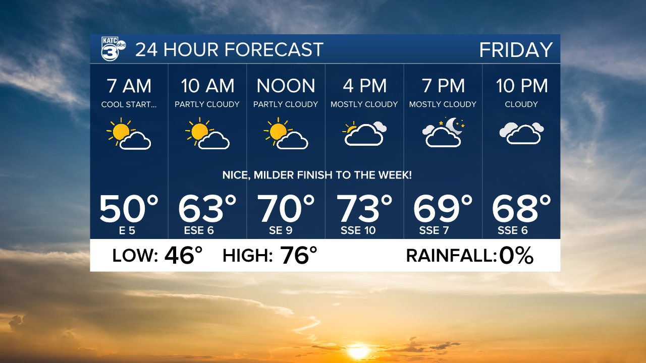
Lows will generally be in the mid-40s overnight with readings as cool as the upper 30s for the northern-most portions of Acadiana.
It should be a great finish to the week weather-wise Friday with partly to mostly sunny skies as southeasterly winds help usher our afternoon temperatures into the mid-70s.
Although there could be a few patches of fog Friday morning, it appears that more dense sea fog will advect into the area Friday night into Saturday morning so keep that in mind for any travel plans.
A weakening front is expected to move into Acadiana Saturday afternoon with the possibility of a few scattered showers (40%).

The front will become nearly stationary offshore into Saturday night but should traverse back to the north and through our area Sunday,
Look for highs Saturday approaching the balmy 80° mark while Sunday readings will probably be closer to the low-mid 70s under mostly cloudy skies.
Rain chances Sunday should be 20% or less.
Next week promises more unseasonably warm and humid weather with some low end rain chances at best.
A change in the pattern should arrive by the end of next week in the form of a more robust cool front a week from this Friday.
See the KATC 10 Day Forecast for the latest.
Climate Notes: November 2022 will go into the record books as a near normal month temperature-wise with a warm start and finish to the month surround a nearly two week cool snap in the middle of the month.


Rainfall was better than the average of 4.25" with 6.08" in the bucket.

Looking ahead to the next three months/winter, the Climate Prediction Center (CPC) has the La Nina pattern continuing to dominate the pattern across the Gulf Coast.
Overall for the winter, temperatures are expected to average above normal while precipitation will remain near or slightly below normal.

This by no means that Acadiana can't see some arctic outbreaks or cold spells this year, nor does it imply we won't have any heavy rain, ice or snow events.

But adding all the numbers up, it appears that this winter, like the last two, will be milder and drier than normal.
------------------------------------------------------------
Stay in touch with us anytime, anywhere.
To reach the newsroom or report a typo/correction, click HERE.
Sign up for newsletters emailed to your inbox. Select from these options: Breaking News, Evening News Headlines, Latest COVID-19 Headlines, Morning News Headlines, Special Offers
