


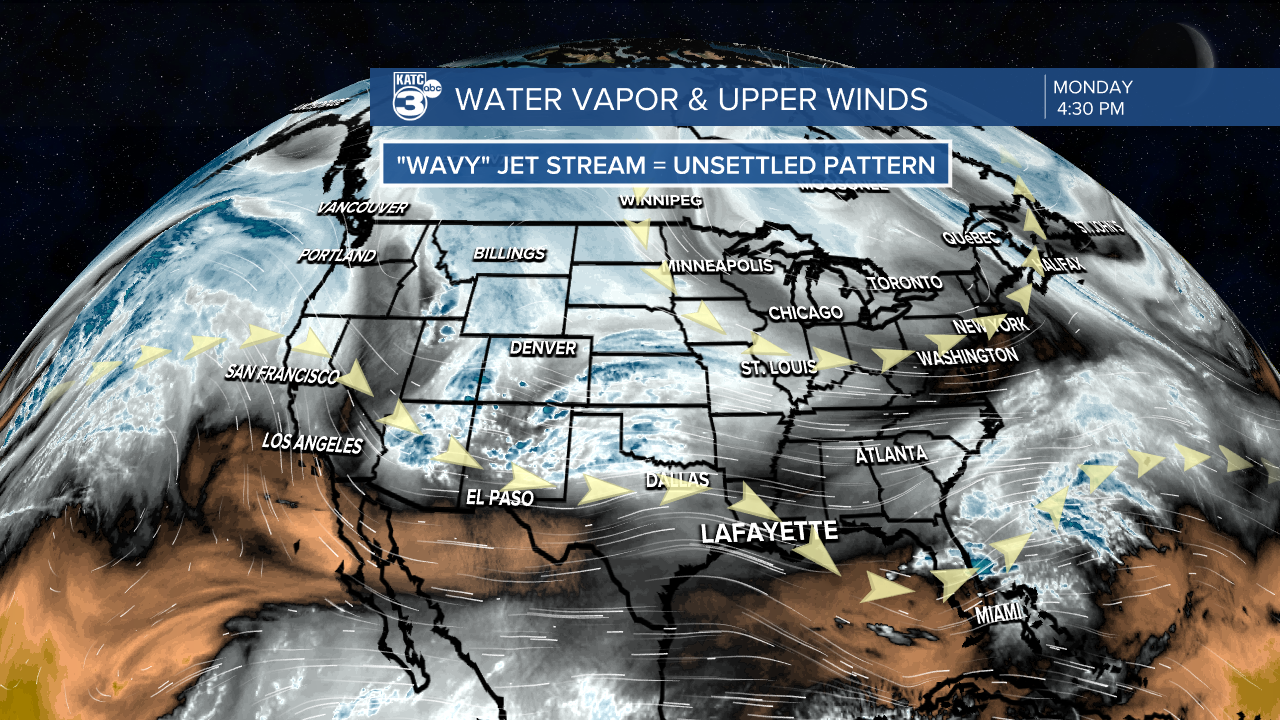
A relatively wavy jet-stream pattern across the southern U.S will bring a few disturbance toward Acadiana through mid-week allowing for some scattered shower activity.
In the near term, expect clouds to thin to fair to partly cloudy skies overnight through Tuesday morning with seasonably cool temperatures dropping into the mid-50s.
Tomorrow should bring more intervals of sun and warmer afternoon temperatures as compared with Monday.

Rain chances should stay low Tuesday but we cannot rule out an isolated afternoon shower...at 10%.
Temperatures will warm into the upper 70s to lower 80s, closer to normal, for Tuesday afternoon.

Scattered showers, possibly a few thundershowers will be possible Wednesday (30-40%) as a disturbance followed by a weak front arrives Thursday.

Rain chances should increase to 50-60% Wednesday night into Thursday with activity hopefully ending in time for the Lauren Daigle performance at Festival International.
The weather looks to be favorable for the rest of Festival and other outdoor activities Friday and Sunday, but an upper level low and secondary cool front night generate a few brief showers during the day Saturday.
See the KATC 10 Day Forecast for the latest.
------------------------------------------------------------
Stay in touch with us anytime, anywhere.
To reach the newsroom or report a typo/correction, click HERE.
Sign up for newsletters emailed to your inbox. Select from these options: Breaking News, Evening News Headlines, Latest COVID-19 Headlines, Morning News Headlines, Special Offers
