


Warm and humid conditions will stick with us over the next few days.
An upper-level low is currently spinning just to our west and that is continuing to keep tropical moisture lurking around, although some of the highest low-level moisture content has set-up just off to our east.
We'll continue to see a similar weather pattern as we round out the weekend and start the new week.
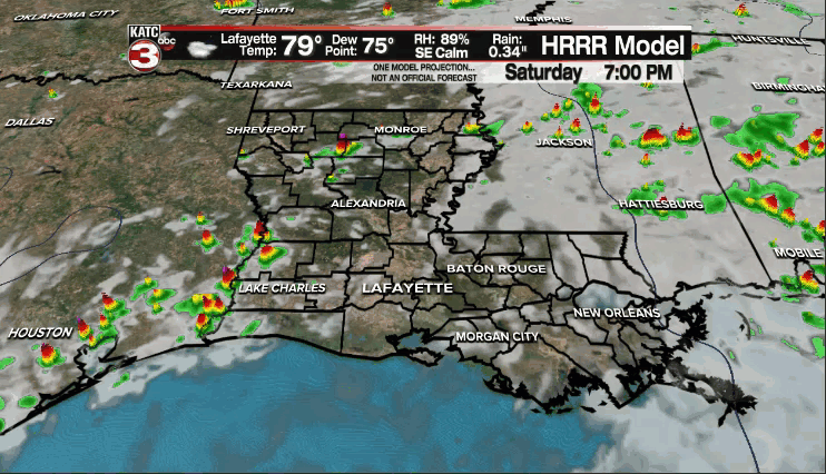
So, expect warm and muggy conditions with a least a few scattered showers/thundershowers.
Temperatures will settle into the upper 80s for our afternoons.
A fall cold front, and yes our first real shot at some cooler weather, will push through Tuesday night going into Wednesday.
Scattered showers and storms will be possible out ahead of the boundary Tuesday night, but expect clearing skies throughout the day on Wednesday as winds turn breezy out of the north.
We'll see widespread middle to upper 50's come Thursday and Friday mornings!
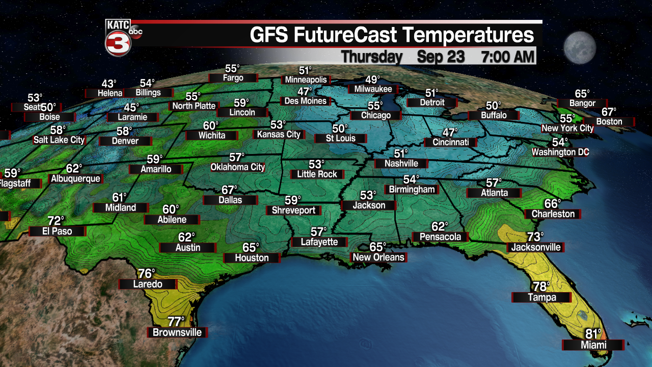
Plenty of sunshine will be in place for both afternoons as temperatures top out in the upper 70s to lower 80s.
We"ll keep the nice weather going into the following weekend as well.
In the Tropics:
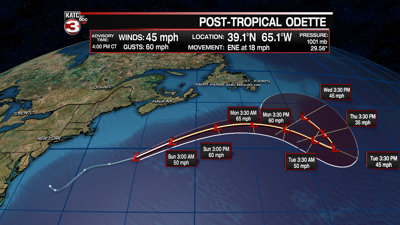
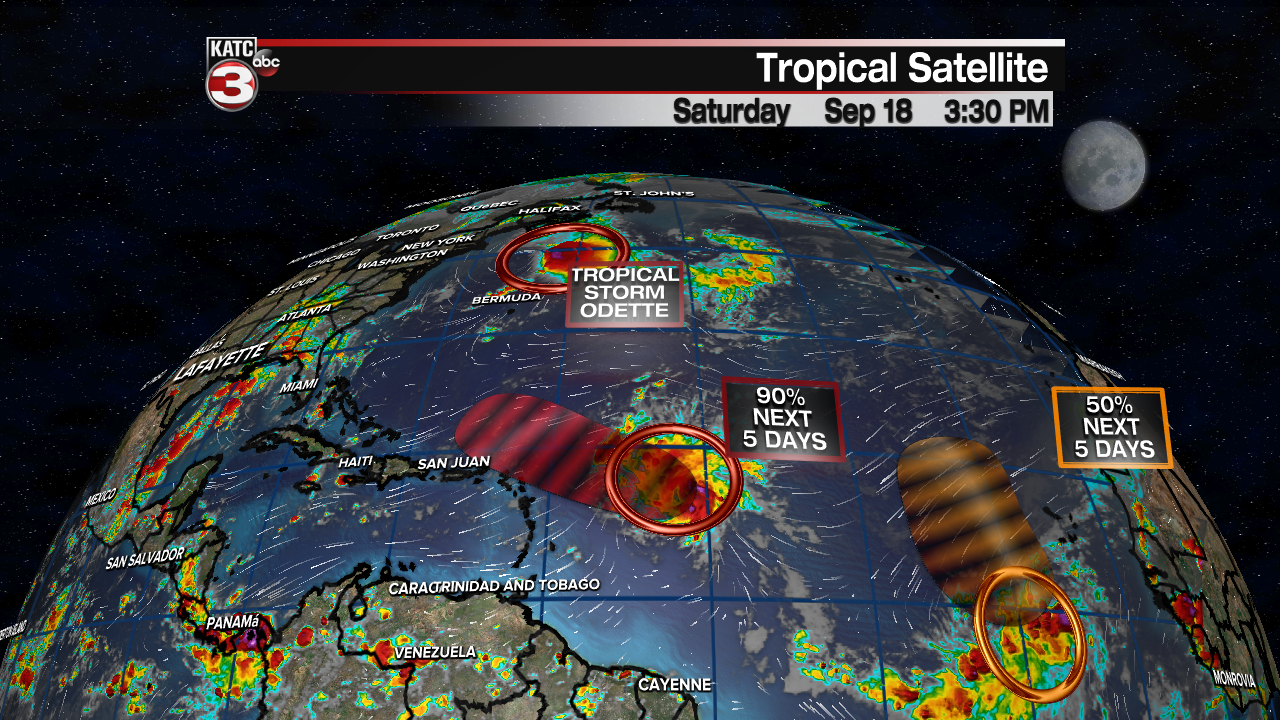
Odette has become an post-tropical cyclone and will remain generally out in the open Atlantic in the days ahead.
The NHC highlights two other areas way out in the Atlantic, but although there is a chance both develop in the days ahead, they'll stay well away from the Gulf and not be an issue for us.
Regardless, we'll continue to keep an eye on things.
