A dome of high pressure will continue to keep dry, but warm conditions in the forecast through the rest of the weekend.
After a morning start in the mid-upper 60s, temperatures will push the upper 80s Sunday afternoon under partly cloudy skies.
It'll be muggy as well as southerly winds continue to bring in moisture.
Some patchy ground fog could be possible first thing in the morning.

A frontal boundary will try and approach from the north Monday, but it will run out of gas before reaching the area.
As a result, we'll stay warm and humid not only on Monday, but through the better part of the new work week.
So feeling a little more like summer rather than fall here across Acadiana.
Models continue to show better agreement on a front pushing through the area sometime late next week and into the following weekend.
We'll see how the pattern continues to evolve. but that would usher in some cooler weather by next weekend and into the first parts of the following week.
Fingers crossed if you are looking for a fall-feel to the air!
TROPICS
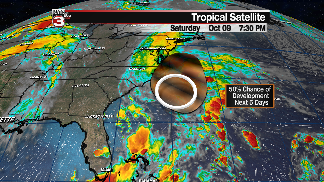
We still have one spot off the east coast that has a 50/50 shot at development in the days ahead.

Regardless, it will be no threat to Acadiana.
Rest of the tropics are quiet.


