


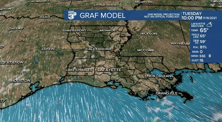
A milder night ahead courtesy of southerly winds across the area.
Overnight lows will hold in the upper 50s to lower 60s.
Warm and breezy out there for our Wednesday as high temperatures push the upper 70s to lower 80s.
Expect a partly to mostly cloudy sky as low-level moisture continues to increase.
A stray passing shower could be possible, but rain chances will only be at around 10%.
Our next front will approach the area on Thursday morning.
Rain will be more isolated in nature ahead of the boundary.
Still looks like only 0.10" or less of rainfall expected, so don't plan on a soaking.
Temperatures may briefly sneak into the low-mid 70s Thursday morning, but readings will actually be dropping into the 60s by the afternoon.
Winds will be picking up from out the north for the second half of Thursday as well.
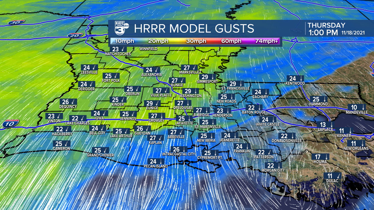
Winds could gust upwards to 25-30 mph.
We'll be turning chilly heading into Friday morning as temperatures drop into the 40s.
Generally mostly sunny into Friday as temperatures hold in the 60s.
Sunny start to the weekend Saturday as temperatures approach the lower 70s by the afternoon after a morning start in the 540s.
Temperatures will continue to moderate into Sunday as we begin to favor a more partly cloudy sky.
Another front will bring isolated rain chances Monday followed by another shot of cooler and nice weather Tuesday.
Looking ahead to Thanksgiving, the forecast remains a bit iffy at this point as it will depend on the arrival of another frontal boundary.
For now, I have scattered showers and mild conditions in the forecast, but of course, that is subject to chance since we are still 7+ days out.
Stay with the katc storm team for the latest throughout the week and for updates in the forecast.
