


Unusual spring-like warmth will continue for Acadiana for the rest of the week, but significant changes including a cool front and decent rain chances are on tap for the weekend.
In the near term, expect another mild night with temperatures hovering in the mid-60s.
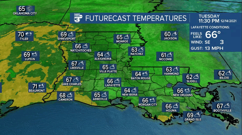
Skies will be partly cloudy overnight with areas of fog developing by daybreak...some fog could be locally dense in spots, but our models have not been indicating one particular area over another.

If you liked Tuesday's weather, you'll enjoy the weather Wednesday, Thursday and Friday.
Expect morning clouds yielding to some intervals of afternoon sun with temperatures topping out in the upper 70s to 80° through Friday.

Change arrives Saturday with a cool front and a good chance of showers expected.
Temperatures Saturday will start in the 70s but will likely drop into the 50s by the evening with an upper level disturbance holding back to the west keeping us cloudy, chilly and with a few lingering showers possible Sunday.

Highs Sunday may be limited to the low to mid-50s under cloudy skies and accompanied by breezy north winds...so Sunday, it will feel like winter again.
But the chill will not last more than a couple of nice and sunny days into next week as another warm-up occurs in time for Christmas Eve and Day.
See the KATC 10 Day Forecast for the latest.
Climate Notes: After some investigation and data mining and reduction, I have found that although we're working on a very warm and near record breaking December, that the lack of a freeze to date is not as unusual as one might think...
Going back to 1893 there's more than two dozen winters where the first freeze occurred after January 1st.
And there were 10 years where the first freeze occurred after February 1st, with the latest being on March 10th in 1932 with a 26° reading!
So there is some wild year to year variability with our winters as we have experienced even in recent years, but there is also a definitive trend that the first freezes (and possibly frosts) have been coming later (now around 12/15) since the mid 1980s...
------------------------------------------------------------
Stay in touch with us anytime, anywhere.
To reach the newsroom or report a typo/correction, click HERE.
Sign up for newsletters emailed to your inbox. Select from these options: Breaking News, Evening News Headlines, Latest COVID-19 Headlines, Morning News Headlines, Special Offers
