


The weather pattern for Acadiana will be unsettled through mid-week with scattered showers possible through Tuesday and a better chance of showers and potentially strong to severe storms into Wednesday.
In the near term, expect mostly cloudy and mild conditions along with the chance of scattered showers, perhaps a few storms overnight through Tuesday morning.

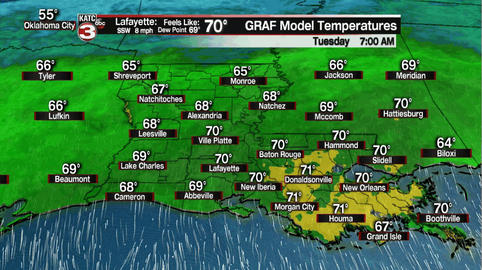
Temperatures overnight will likely hold in the upper 60s to lower 70s across the region.
Some fog will also be possible, especially toward the coast, where a Dense Fog Advisory is in effect for Cameron Parish as of press time.

Tuesday will become a breezy and another warm day with a fairly decent chance of scattered showers and perhaps a few thunderstorms especially during the morning hours with activity waning into the afternoon.
Highs Tuesday will be in the upper 70s to near 80°...depending on the length of a few intervals of sunshine that is expected during the mid-latter part of the afternoon.
Low pressure advancing into the the nation's mid-section Wednesday will usher a strong and dynamic cold front across the area into Wednesday evening.
Ahead of the front, showers and thunderstorms will be likely Wednesday, especially into the afternoon hours with some storms strong to possibly severe.
The Storm Prediction Center has all of Acadiana hatched in for a "slight risk" of severe storms, a level 2 out of 5, for Wednesday...stay tuned as outlooks often chance the day before the "event".

The severe weather risk is expected to be even greater into Mississippi and Alabama Wednesday with an all-mode severe weather threat likely.
There will be the risk of storms containing hail, damaging winds and a few tornadoes for our area, with the threat of stronger, longer-lived tornadoes possible well to our northeast.
At this point, it does appear that there will probably be a tornado "watch" for our area sometime Wednesday.
Ahead of our next weather-maker it will likely become breezy during the day Tuesday with gusts to 20-25 mph, and then quite windy into Wednesday with gusts exceeding 30-40 mph.

Wind gusts in and near storms will likely get close to 40-50 mph Wednesday so plan on staying weather and radar "aware" for our mid-week system.
Thereafter, breezy and cooler weather will spill back into the area with mostly sunny skies (except for more clouds Friday) expected into the weekend.
We could see the next weather-maker, and perhaps another severe weather threat for the area, by the middle part of next week.
See the KATC 10 Day Forecast for the latest.
------------------------------------------------------------
Stay in touch with us anytime, anywhere.
To reach the newsroom or report a typo/correction, click HERE.
Sign up for newsletters emailed to your inbox. Select from these options: Breaking News, Evening News Headlines, Latest COVID-19 Headlines, Morning News Headlines, Special Offers
