


The biggest change in more than four months is on the way to Acadiana in the form of a couple of cool fronts to finish the week...the second of which will bring full fall temperatures to the area for this weekend.
Look for the first front to arrive to Acadiana by Thursday evening.
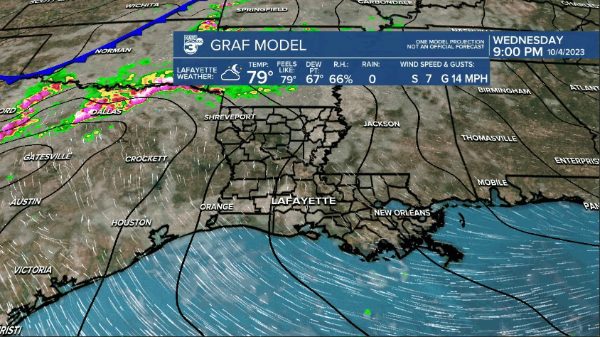
Scattered showers and a few storms will develop along and ahead of this front for the area, with rain chances in the 50-60% range for the afternoon and into a good part of the evening hours.
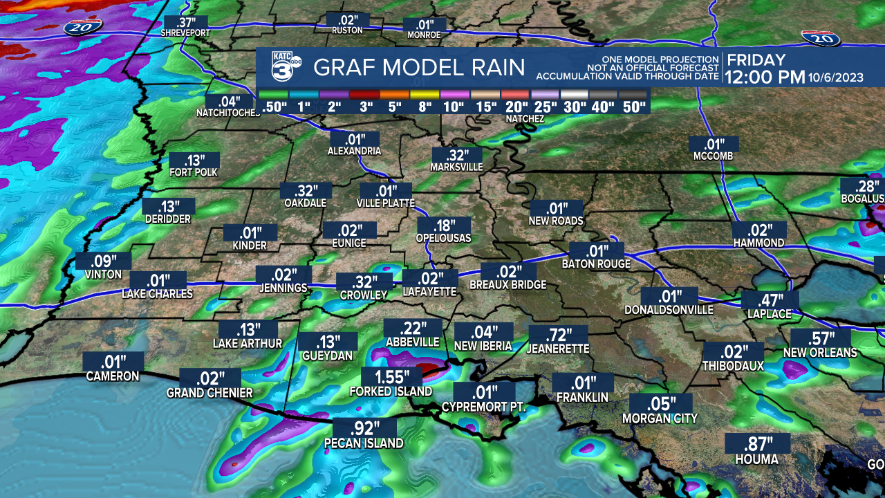
Don't not expect much in the way of any significant rainfall Thursday into Thursday, with most folks seeing .10" or less. A few isolated spots could see up to 1/2-1".
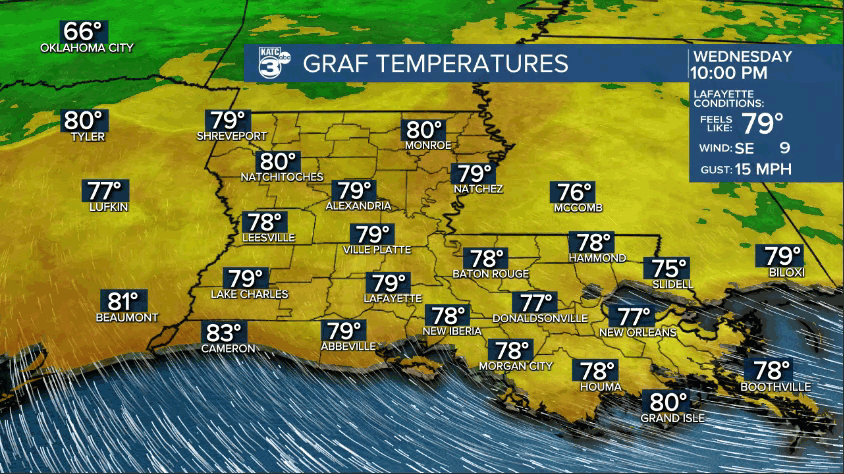
With the expected clouds, and possible showers, it appears we may not hit 90° Thursday...after a record 133 days of 90°+ this year.
Temperatures Thursday should top out in the mid-upper 80s.
A few sporadic showers may last through Friday, while a secondary much stronger surge of of cooler air arrives Friday night.
Look for highs Friday to still reach the mid-80s, albeit with a fresh northerly breeze.
Temperatures Friday night will start to chill as it should also get windier...lows by Saturday morning could be in the low-mid 60s.
Look for windy/blustery conditions Saturday with a sun and cloud mix as temperatures struggle to reach the mid-70s.
Winds Saturday will be gusting in the 20-30 mph range before slowly abating into Sunday.
Lows Saturday and Sunday nights should drop into the refreshing, sweater and jack-wearing, lower 50s!
Highs Sunday will again be in the mid-70s.
Nice fall weather will follow into early next week with a gradual warm-up by the end of the week...but we could see another front next Friday or Saturday.
See the KATC 10 Day Forecast for the latest.
Meanwhile in the tropics, after Tropical Storm Phillipe threatens Bermuda and then heads toward Canada, we'll be watching our old frontal friend in the Southern Gulf of Mexico into next week.
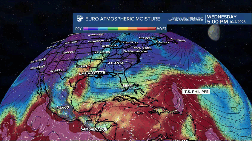
A disturbance may emerge in the Bay of Campeche by mid-week.
Climatologically-speaking, systems here in October can stay bottled-up in the region for days...or scoot off toward the northeast...or get sheared apart...but it will something on the back-burner that we'll keep on eye on.
------------------------------------------------------------
Stay in touch with us anytime, anywhere.
To reach the newsroom or report a typo/correction, click HERE.
Sign up for newsletters emailed to your inbox. Select from these options: Breaking News, Evening News Headlines, Latest COVID-19 Headlines, Morning News Headlines, Special Offers
