


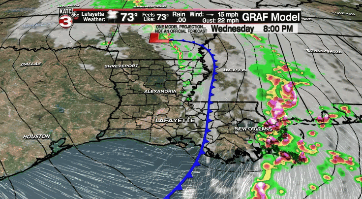
After a stormy Wednesday afternoon, things are settling down this evening across Acadiana.
We'll be turning cooler and eventually windy later on tonight as the storm system continues to push off to our east.
Overnight lows will be dropping into the upper 50s to lower 60s by morning.
Winds will be out of the WSW at 10-15 mph.

Windy WNW winds throughout Thursday at 15-25 mph with gusts at times in the 30-40 mph range.
Some wrap around clouds from the main upper-level feature will be possible into the afternoon.
We will be considerable cooler as highs struggle to get out of the 60s.
Heading down into the middle 50s Thursday night/Friday morning.
Temperature will remain in the 60s into Friday afternoon under mostly sunny skies (some wrap around clouds possible once again at times).
Chilly conditions by Saturday morning with readings dipping down into the upper 40s to lower 50s.
Plenty of sunshine heading into the weekend with temperatures topping out in the 70s both Saturday and Halloween Sunday.
Looking cool and crisp for all of you heading out for trick or treating Sunday night!
The pattern stays relatively nice into most of next week with another front potentially moving in by the latter parts of the week.
