


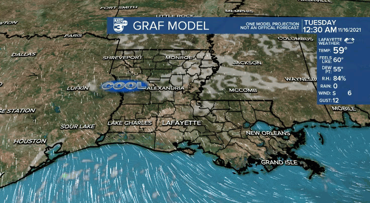
Fair to clear skies will be in place tonight.
Light southerly winds will hold our overnight lows in the middle to upper 50s.
So, not quite as chilly tonight, but still cool.
Some patchy fog could be possible in spots first thing in the morning.
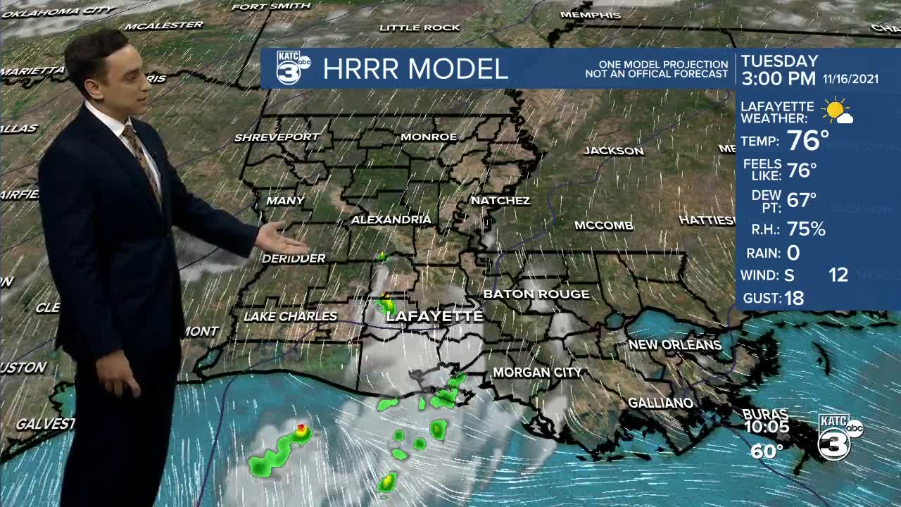
Despite a few passing clouds, we'll see a mostly sunny sky throughout Tuesday.
Temperatures will push the middle to even upper 70s by the afternoon.
Low-level moisture will continue to increase into Wednesday courtesy of southerly winds.
Overnight lows will hold in the 60s with afternoon highs approaching 80° on Wednesday.
A frontal boundary will approach the area Thursday.
Winds will look to pick up out of the north during the second half of Thursday.
That will give us our next chance of rain, albeit only isolated in nature as the boundary will be rather weak.
However, temperatures will be slightly cooler behind it heading into Friday.
We'll see readings back in the 40s Friday morning with highs holding in the 60s by the afternoon.
First half of the weekend looks really nice.
We may start to see more clouds and perhaps some isolated rain chances by the end of the weekend.
We'll see how the pattern continues to evolve in the days ahead.
Have a good one!
