


After a good chance of showers and storms and balmy temperatures for Acadiana early Saturday, the dial will get switched back to a more winter-like chill Saturday afternoon into Sunday.
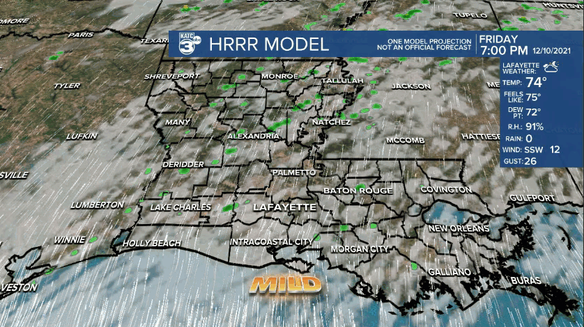
In the near term, it will remain breezy and mild under mostly cloudy skies Friday evening with a slight, 20% chance of a passing isolated shower.
Temperatures overnight through early Saturday morning will stay in the low-mid 70s.
Showers and thunderstorms (a 90% chance) will be heading for the area Saturday morning ahead of a strong cold front accompanied by a marginal risk of an isolated severe storm possible.
While there will be a substantial, "moderate" (level 4 out of 5) severe weather threat for the Mid-Mississippi River Valley this evening/overnight (per the Storm Prediction Center), there's a marginal threat (1/5) for Acadiana Saturday morning.
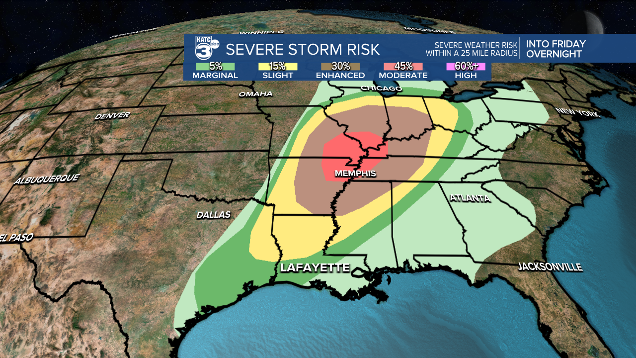
The bulk of any severe dynamics should stay to our north and overall the front looks to outrun any substantial wind dynamics as it gets closer to the I-10 corridor.

Nonetheless, there may be an isolated threat of damaging winds/brief tornado spin-up possible, especially for northern portions of Acadiana around daybreak.

As the line of storms moves southeastward into mid-morning Saturday, our computer models indicate that storms should be weaker and less concentrated.
Latest Power Doppler 3 here.
The prime-time for showers and storms for Acadiana looks to be from the northwest to the southeast between daybreak and noon.
Behind the front, scattered lingering showers will diminish later Sturday afternoon as breezy and sharply cooler conditions overtake the area.

Look for rain totals Saturday to be in the 1/2" range give or take a quarter of an inch...highest totals, and an inch or two will be possible in the northern Acadiana parishes into CenLa.

Temperatures Saturday afternoon will drop into the 50s, and eventually head for the lower 40s Sunday morning...some readings could get into the upper 30s across our northern parishes.

Wind chills Sunday morning are expected to get into the mid-30s, but lots of sun will warm our afternoon highs into the upper 50s to lower 60s.
Milder, and eventually unusually warm weather will return to the area for all of next week and into next weekend.
While a few isolated showers may be possible toward the end of the week, our next good chance of showers and storms may come with the next front that looks to arrive around December 20th or 21st.
Thereafter, there could be a little winter chill prior to Christmas, but it does not look to last too long.
In the mean time, see the KATC 10 Day forecast for the latest.
------------------------------------------------------------
Stay in touch with us anytime, anywhere.
To reach the newsroom or report a typo/correction, click HERE.
Sign up for newsletters emailed to your inbox. Select from these options: Breaking News, Evening News Headlines, Latest COVID-19 Headlines, Morning News Headlines, Special Offers
