


Spring warmth will return to Acadiana for the rest of the week with our next weather-maker/storm system likely arriving Friday afternoon and/or evening.
In the near term, breezy southerly winds and some clouds will conspire to usher in milder overnight/morning low temperatures with readings across the region ranging from the upper 50s to lower 60s Wednesday morning.
Expect morning cloudiness to give way to intervals of sunshine Wednesday afternoon with temperatures climbing into the upper 70s to near 80°.

Southerly breezes will continue Wednesday in the 10-15 mph range with a few afternoon gusts near 20 mph.
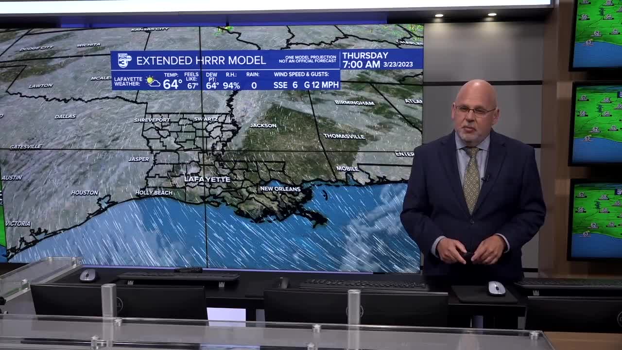
Little overall change is expected Thursday with temperatures climbing further into the low to mid-80s.
Acadiana's next weather-maker will come in the form of a storm system emanating from the West over the next couple of days, accompanied by a trailing frontal boundary and ample upper level wind support, to produce widespread showers and thunderstorms by Friday afternoon into the evening.

The Storm Prediction Center (SPC) continues to maintain a slight risk of severe storms for Louisiana and Acadiana Friday/Friday night.

The outlook are could get trimmed back on the southern fringes (toward Acadiana) with increasing probability of the northern part of the state getting an upgrade or two to a higher risk on future SPC forecasts.
Nonetheless, expect an excellent chance of storms during the afternoon/evening hours Friday, with the possibility of a few storms that could produce damaging winds and perhaps an isolated tornado...and per usual, those risks will likely be higher north of Acadiana and into the northern part of the state...stay tuned.
Flooding shouldn't be a concern Friday with rain totals with this system likely to be no more than the 1-2" range or less.

Interestingly enough, after a quiet Saturday the pattern could get rather unsettled and wet with rounds of showers and storms returning Sunday into Monday as Friday's front drifts back to the north, with the Euro (and to a certain degree the GFS) bringing several more inches of rain into early next week.
See the KATC 10 Day Forecast for the latest and stay with KATC for additional updates concerning the potential severe weather threat that should one develop here later Friday.
------------------------------------------------------------
Stay in touch with us anytime, anywhere.
To reach the newsroom or report a typo/correction, click HERE.
Sign up for newsletters emailed to your inbox. Select from these options: Breaking News, Evening News Headlines, Latest COVID-19 Headlines, Morning News Headlines, Special Offers
