


Acadiana's weather is getting into the typical spring pattern. And over the next couple of days, there will be slight chance of a passing afternoon shower, but better prospects of showers & perhaps some strong storms are possible into Wednesday night/predawn Thursday.
And it appears afterwards there may be more hefty thunderstorm chances before the week is done.
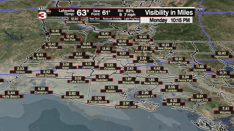
In the near-term expect fair to partly cloudy skies along with the risk of some fog by Tuesday morning.

The best chance for fog Tuesday morning appears to be across western and northwestern portions of Acadiana.
Tuesday will bring partly to mostly cloudy skies, breezy southerly winds and a slight chance (20%) of a passing afternoon shower.
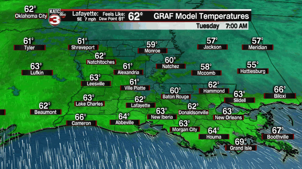
Temperatures will start out in the lower 60s Tuesday and should rise well into the upper 70s, perhaps hitting 80° in a few spots in the afternoon.
Little change in the pattern is expected Wednesday, although it could get breezier ahead of a frontal boundary that will be dropping southward through the state into Wednesday night.

Although the front is expected to fizzle for the most part, there would be some strong to possible severe storms (60-70%) late Wednesday night into the pre-dawn hours of Thursday.

In fact, the Storm Prediction Center does have Acadiana hatched in for a marginal risk (level 1 out of 5) of a few severe storms that could be capable of damaging winds Wednesday night. This outlook area by get pared back on the western flank in Acadiana in the days to come.
The severe weather risk however, will be most pronounced in the northern part of state and into Mississippi earlier Wednesday.
After a bit of a break into Thursday, another, more potent-look pattern looks to take shape late Friday, or more likely Friday night.

This system may bring better thunderstorm coverage, localized heavier rains, and a more elevated risk of severe storms.
See the KATC 10 Day Forecast for the latest.
------------------------------------------------------------
Stay in touch with us anytime, anywhere.
To reach the newsroom or report a typo/correction, click HERE.
Sign up for newsletters emailed to your inbox. Select from these options: Breaking News, Evening News Headlines, Latest COVID-19 Headlines, Morning News Headlines, Special Offers
