


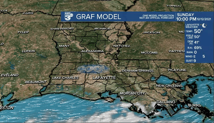
After plenty of sunshine and cool conditions Sunday, we'll start to see more clouds and milder temperatures throughout the new week.
Overnight lows may briefly get into the 40s around midnight, but actually temperatures will be rising into the mid-50s by daybreak Monday.
We'll see a mostly cloudy sky on Monday as temperatures push the upper 60s to lower 70s.
An isolated passing shower can't be ruled out, but rain chances will only sit in that 10-20%... and it won't just be for Monday, but through the entirety of the week.
Even milder temperatures will ensue Tue.-Fri.
Expect high temperatures to reach the upper 70s to lower 80s for our afternoons.
Overnight lows will only be in the 60s.
Slightly better rain chances will look to move in this weekend, as our next front approaches.
For now, I have rain chances in the 30-40% range.
Temperatures will be cooler for the second half of the weekend and into the first parts of next week.
Still a little too early to talk specifics of the Christmas forecast, but we'll have more on that in the days ahead, so stay tuned!
