


The early spring weather pattern that has dominated across Acadiana over the last several days will continue this weekend, but changes are on the way with a more active period that will include a good chance of showers and thunderstorms into early next week.
In the near term, look for mild conditions at night with plenty of clouds and temperatures holding in the low-mid 60s through daybreak Saturday.
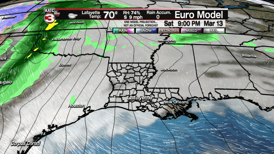
Saturday will feature another day filled with clouds and some intervals of sunshine from time to time...and perhaps enough sun at times to get our high temperature to near 80°.
Breezy southerly wind will continue near 10-15 mph with a few higher gusts possible Saturday afternoon, but expect winds to get stronger and gustier into Sunday ahead of an approaching frontal boundary that reaches the area by Monday morning.

Chance of a brief, isolated shower will be near 10% Saturday...very similar to the last few days.
Sunday will bring much the same, although there could be one or two more isolated showers (at 20%), and there is a distinct possibility of a little more sun into the afternoon.

Winds Sunday will crank up a notch out of the south near 15-25 mph with a few gusts reaching 30 mph or better into Sunday afternoon.

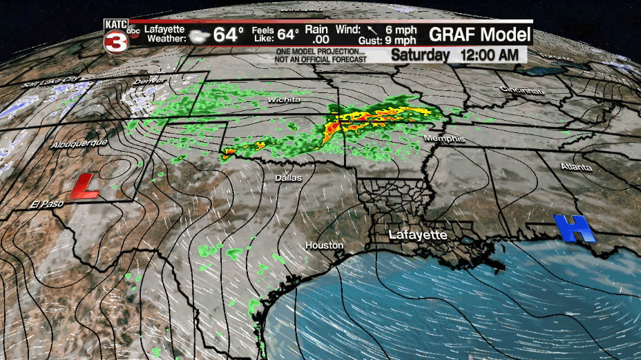
By late Sunday night, and primarily toward daybreak Monday, a frontal system will likely ignite showers and thunderstorms, some of which could potentially be strong with gusty winds.
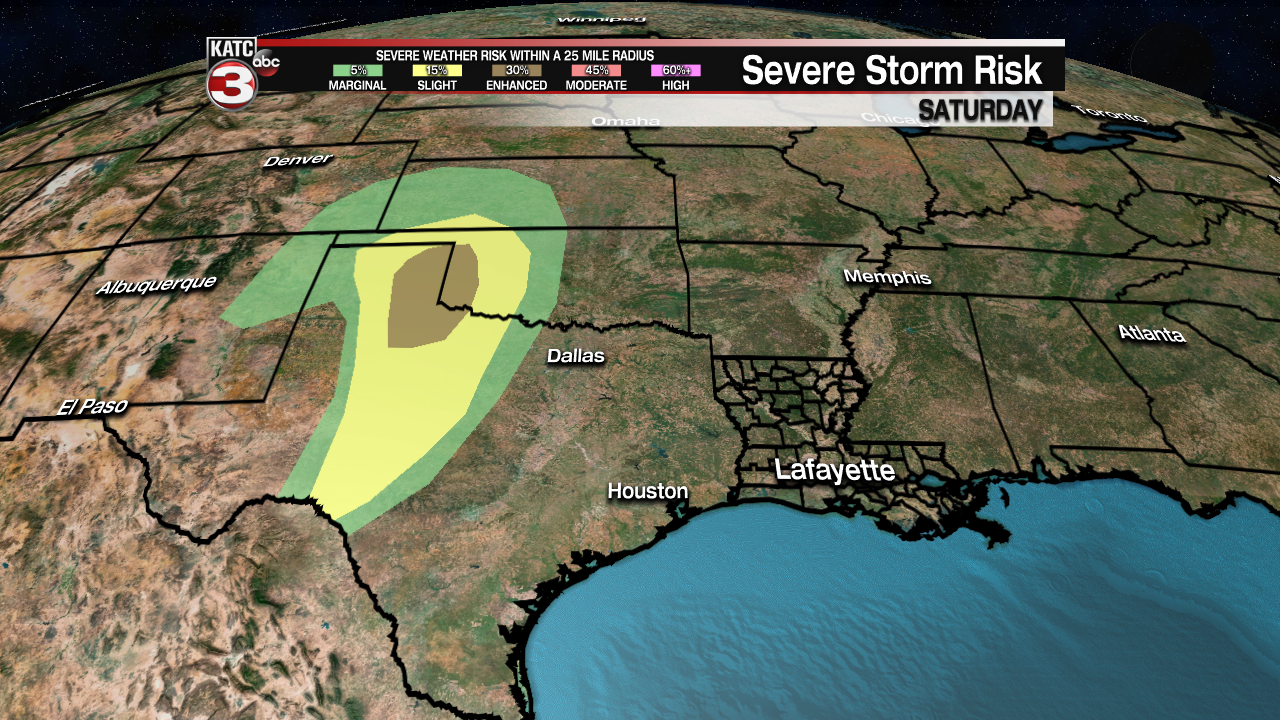
The Storm Prediction Center however is currently keeping the threat of severe weather away and north of the Acadiana region through the weekend and Monday morning for now.

The front Monday is expected to stall, with additional impulses keeping the chances of active showers and storms in the forecast into Tuesday and Wednesday.
Thereafter, it appears that cooler, drier weather will take up residence in the area for the latter part of next week, and hopefully most of next weekend.
See the KATC 10 Day Forecast for the latest.
------------------------------------------------------------
Stay in touch with us anytime, anywhere.
To reach the newsroom or report a typo/correction, click HERE.
Sign up for newsletters emailed to your inbox. Select from these options: Breaking News, Evening News Headlines, Latest COVID-19 Headlines, Morning News Headlines, Special Offers
