


Scattered afternoon and early evening showers and thunderstorms will remain in the forecast for Acadiana for the balance of the week and for part of the weekend.
Daily rain chances will likely stay in the 40% range give or take 10%, Thursday and Friday, with the possibility of a few isolated storms containing gusty winds, frequent lightning, and locally heavy downpours due to slow storm movement.
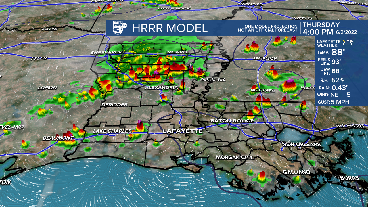
Prime-time for activity over the next couple of days looks to be between 3pm and 8pm.
The weekend looks to bring lower rain chances Saturday but they could perk up again into Sunday.
Daytime highs will stay mostly in the lower 90s into the weekend with night time/morning lows closer to the almost more comfortable lower 70s.
Next week is looking hotter and drier through mid-week, with the heat continuing through the end of the week, but with a few more afternoon storms.
See the KATC 10 Day Forecast for the latest.
Meanwhile in the tropics, on this first day of hurricane season, weak surface low pressure has developed just north of Belize Wednesday.
This low has an 80% chance of becoming a tropical depression tomorrow or Friday as it heads generally to the northeast.

The system might have some low-end tropical storm potential, but main threats will be locally heavy rains of up to 4-8" for portions of the Yucatan/Western Cuba and then for South Florida and portions of the Bahamas primarily late Friday into Saturday.
------------------------------------------------------------
Stay in touch with us anytime, anywhere.
To reach the newsroom or report a typo/correction, click HERE.
Sign up for newsletters emailed to your inbox. Select from these options: Breaking News, Evening News Headlines, Latest COVID-19 Headlines, Morning News Headlines, Special Offers
