


The pattern will turn unsettled for the start of the new work week as mild and muggy conditions remain in place.
Overnight lows will only be falling into the mid-upper 60s under mostly cloudy skies.
Some patchy fog can not be ruled out, especially south of the interstate.
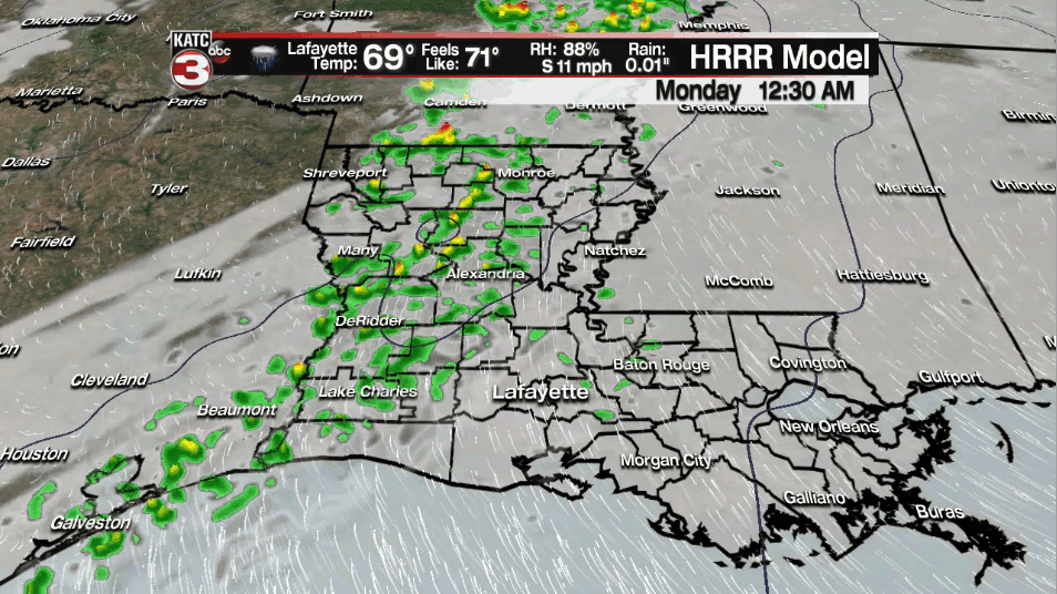
A frontal boundary will approach the area (but not actually push through) late tonight into tomorrow morning.
Scattered light to moderate showers will be possible out ahead of this front, but activity will not be overly widespread.
I've got rain chances at around 40% for the overnight period and going into our Monday.
We will be left in the warm sector as the boundary slowly starts to lift to the north throughout the day on Monday.
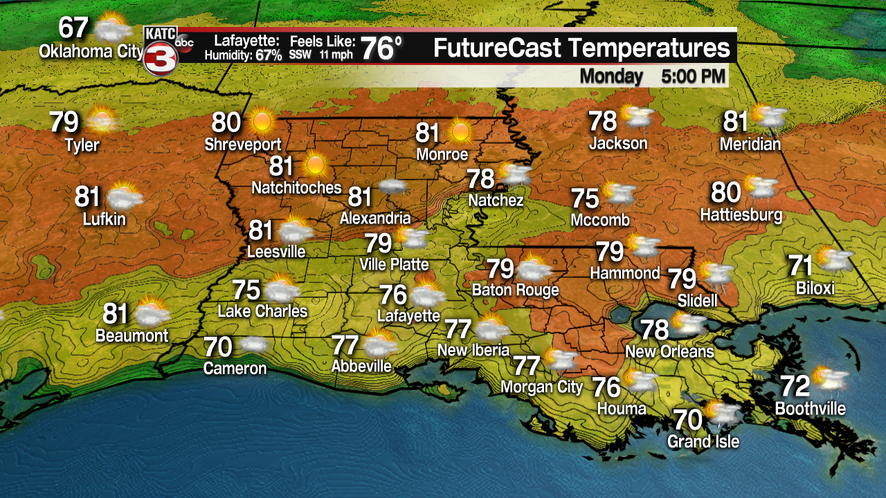
As a result, expect another mild and muggy day as afternoon highs push the upper 70s to near 80°.
Southerly winds will be around 6-12 mph with gusts at times exceeding 15 mph.
Again, spotty showers will be lurking around, but otherwise, expect partly to mostly skies with intervals of afternoon sun.
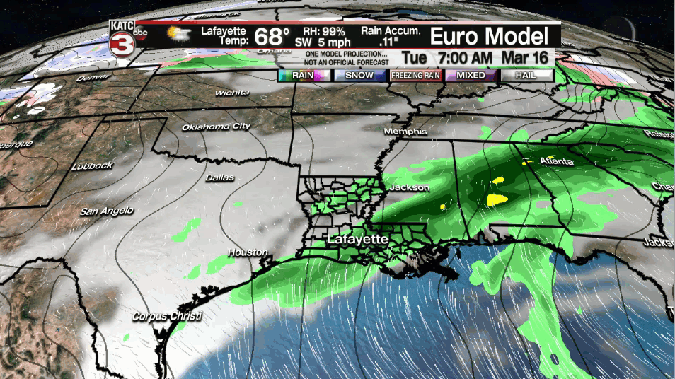
We'll bump rain chances up to 60% on Tuesday as a weak upper-level impulse moves through the region coupled with low-level moisture in place.
Scattered showers and even an isolated thunderstorm will be possible.
A stronger storm system will approach from the west going into Wednesday, setting the stage for severe weather potential across a good chunk of the southeast as it encounters warm, moist, unstable air.
The bullseye for severe weather looks to be across portions of "Dixie Alley" in northern Louisiana, Mississippi and Alabama, but Acadiana will still likely be under some risk for severe weather.
If all holds true going into tomorrow, then we will be hatched in for at least a slight risk (level 2 out of 5) for Wednesday.
Damaging winds, hail and even isolated tornadoes could be possible.
Something we will have to monitor in the coming days, so make sure to stay with us for the very latest.
Cooler and drier weather will be moving in for Thursday and sticking with us into the following weekend.
in fact, we will be talking morning starts in the 40s with cool afternoon finishes in the 60s!
Y'all have a great week!
------------------------------------------------------------
Stay in touch with us anytime, anywhere.
To reach the newsroom or report a typo/correction, click HERE.
Sign up for newsletters emailed to your inbox. Select from these options: Breaking News, Evening News Headlines, Latest COVID-19 Headlines, Morning News Headlines, Special Offers
