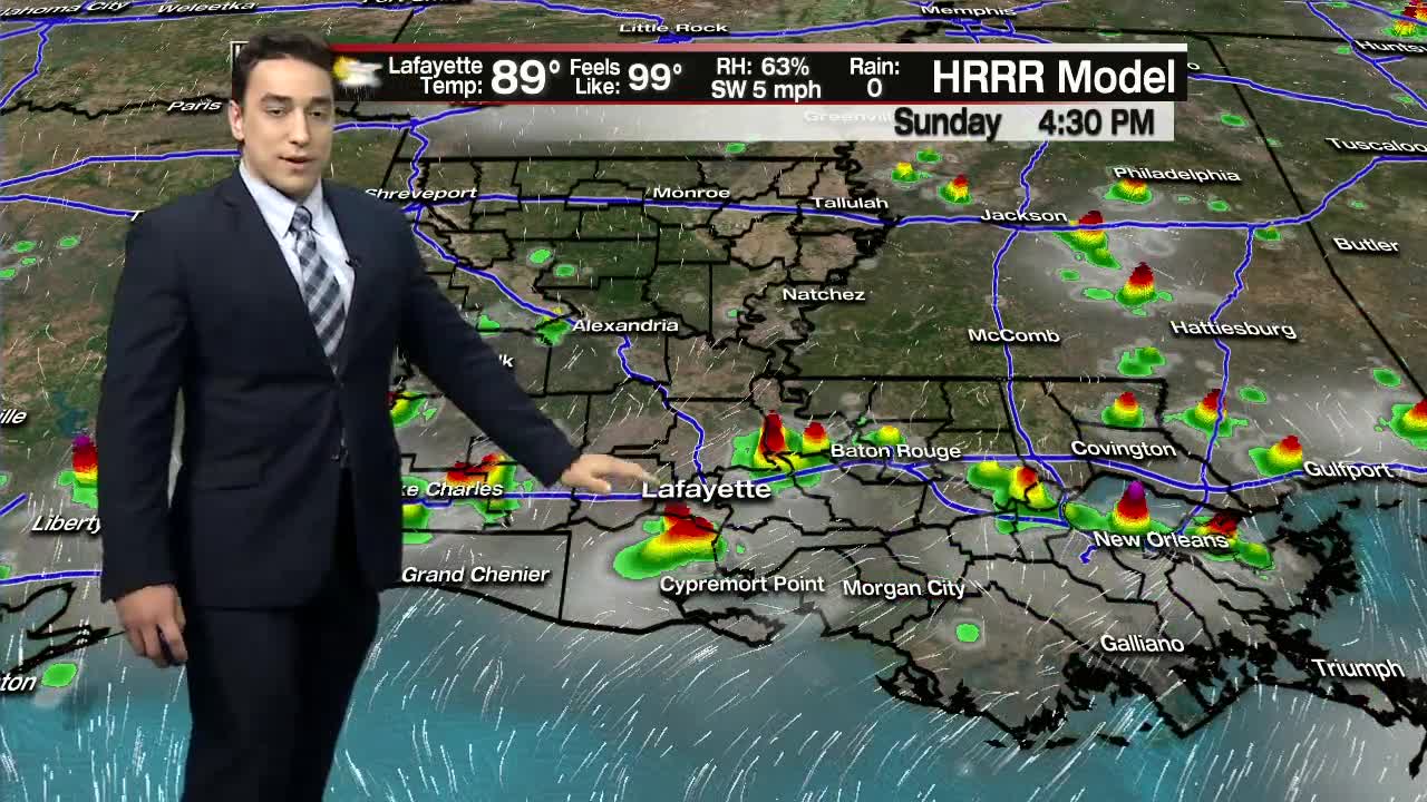


Hot with a few scattered storms around for Sunday.
Happy weekend, y'all! We saw a few hefty downpours through the course of Saturday, but most of that activity is starting to quiet down.
Low temperatures tonight will drop back into the mid 70s under clearing skies late. Some patchy fog may be possible in some areas.
The main upper-level high will continue to settle off to our west for Sunday which will help to limit extensive coverage of scattered storms, but the sea breeze effect and daytime heating will still allow for some heavy downpours to develop once again through the course of Sunday afternoon.
Very similar to Saturday, some of us may stay dry while others pick up a quick heavy downpour. Some of the storms that develop will be capable of producing heavy rainfall, gusty winds, and frequent lightning. Very typical set-up for this time of year, and keep in mind that we continue to be in peak lightning season, so once that thunder gets rolling, it is time to head indoors.
High pressure at the surface will look to build into the area for early next week which should bring down our rain chances to around 20% as highs top out in the mid 90s.
By late week, the upper high looks to break down and move westward which should allow for a little more moisture to return to the region, so rain chances will perk up a bit for a better chance to see scattered storms in our afternoons. August-like rain chances look to return by next weekend. Y'all have a great Sunday!
In the tropics: Quiet conditions overall as we continue to watch a couple of tropical waves in the Atlantic, but none are showing signs of development at this time. Overall conditions are just too unfavorable for now. We'll continue to watch.
