


Rain chances for Acadiana will slowly ease into the week with scattered showers and storms still remaining in the forecast, but they should be less frequent, allowing for more intervals of sun, which will bring our first extended feel of more summer-like conditions.
This means our daytime highs will start consistently pushing the upper 80s to near 90°.
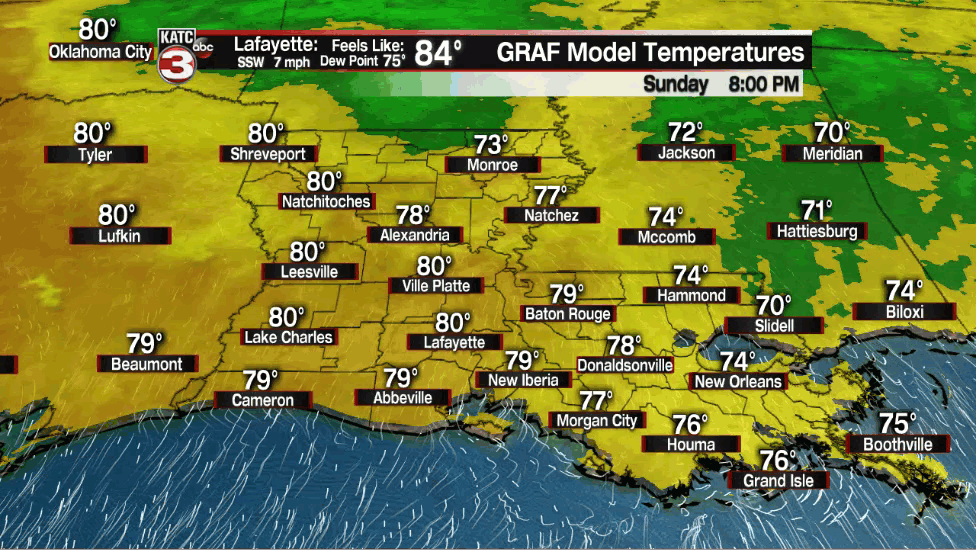
In the near term, expect scattered early evening showers and storms to slowly dissipate within a few hours of sunset Sunday with warm and quite humid conditions overnight into Monday morning.

Lows will be in the steamy (and above normal) mid-upper 70s.
Monday should bring a fairly decent chance of scattered showers and a few thunderstorms (near 50%) primarily during the morning into the midday hours, with more sunshine and heat likely into the afternoon.
Highs Monday will be in the upper 80s while heat indices begin to inch upward into the mid-upper 90s...feeling like summer for sure!
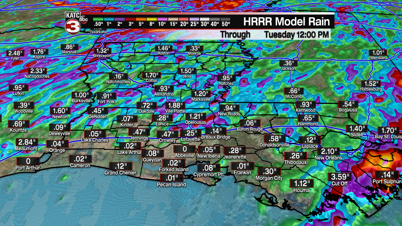
Rain chances should ease further into Tuesday (down to 20-30%), but models do indicate there could be a wave of additional storms trying to push into the area from the north Monday and perhaps Tuesday nights.
Temperatures Tuesday may hit 90° which would be a first for Lafayette this year with such a wet pattern dating back through May keeping our high temperatures at bay.
Normal for this time of year is 90° and it's rather remarkable that Lafayette hasn't reached that mark into the first week of June.
The rest of the week will continue to feel like summer with highs in the upper 80s to lower 90s likely to carrying into next weekend, while there will continue to be the chance of scattered, primarily afternoon showers and a few thunderstorms.
See the KATC 10 Day Forecast for the latest.
Meanwhile, the tropics remain quiet but there could be some signs of activity developing within a week.
We may be turning our attention to the tropics by next weekend as models are beginning to key in on a monsoonal trough that will be spanning northeastward from a Central American "gyre" to a tropical wave that is currently approaching the Eastern Caribbean.
The tandem could bring a surge of tropical moisture toward the Northwest Caribbean and perhaps eventually to the Gulf of Mexico next weekend and into early the following week.
This disturbance may become a troublemaker, but it's too early in the game to be speculative beyond that.
------------------------------------------------------------
Stay in touch with us anytime, anywhere.
To reach the newsroom or report a typo/correction, click HERE.
Sign up for newsletters emailed to your inbox. Select from these options: Breaking News, Evening News Headlines, Latest COVID-19 Headlines, Morning News Headlines, Special Offers
