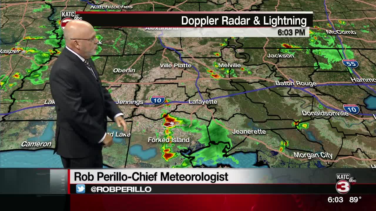


We saw more heat today due to a lack of significant cloud cover and storms out there. Temperatures climbed into the lower to mid 90s area wide.
Lows overnight and into Thursday morning will drop back into the mid 70s under fair skies.
Thursday will be somewhat of a tricky forecast as the tropical wave we've been talking about sitting in the Gulf of Mexico will be lurking offshore. Some of the recent guidance has backed off slightly on the rainfall coverage for Acadiana heading into Thursday.
However, we are still going to be in a tropical weather environment, so on and off tropical rain bands will be possible throughout the day. Gusty winds may also accompany some of the rain bands that move through.
Localized heavy rainfall will be possible not only for Thursday, but through early next week as the disturbance heads toward the Texas coastline.
We'll likely stay in an active weather pattern for most of next week with daily storm chances as moisture values remain high and an upper-level disturbance dives down from the north. High temperatures are likely to remain in the 80s for the majority of the 10-day. Y'all have a good one!
A full look at our tropics discussion can be found in the tropics/hurricane section or at katc.com/weather
