


It was another nice, but warm one out there today.
Unfortunately, it will be more clouds than sunshine for the rest of the week with the chance to see scattered showers and storms.
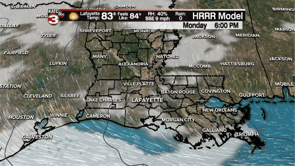
Mostly clear skies this evening will give way to partly/mostly cloudy skies later on tonight.
Temperatures will be in the lower to middle 60s by tomorrow morning.
Essentially what we will be seeing over the next couple of days is a slow-moving cold front moving towards us as impulses of upper-level energy work along that boundary.
As a result, expect elevated rain chances across the region with scattered showers and storms likely.
Severe weather ingredients are not overly impressive, but we can not rule out a strong storm or two on Tuesday.

Gusty winds and small hail would be the primary threats, so we'll watch out for that.
We may get a break late Tuesday evening/night, but rain chances will remain non-zero.
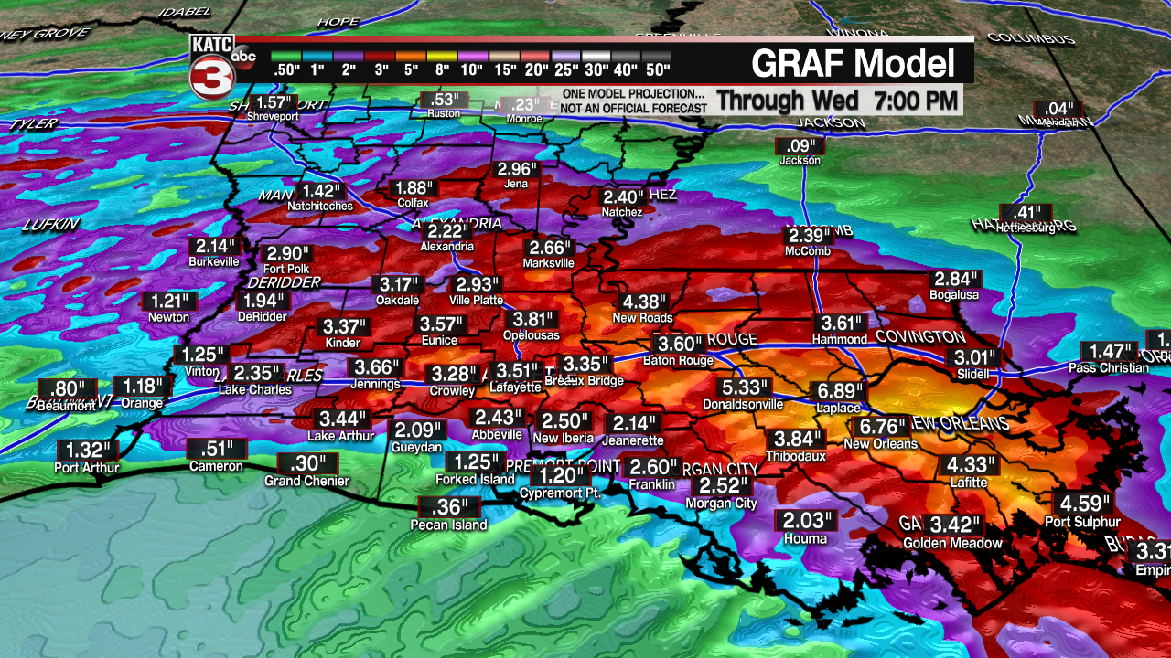
Another, and perhaps a healthier batch of showers and storms, will arrive on Wednesday morning.

Gusty winds could be possible, but locally heavy downpours may be the bigger issue.
Rainfall totals through Wednesday will approach ~1-3" but locally higher amounts can certainly be possible, especially in heavier thunderstorms so keep that in mind.
The pattern will remain somewhat unsettled through the end of the week as slightly cooler conditions and lower humidity values filter into the region.
Adding up the rainfall totals with the longer-range models, some areas could approach 5-6" by the end of the week.
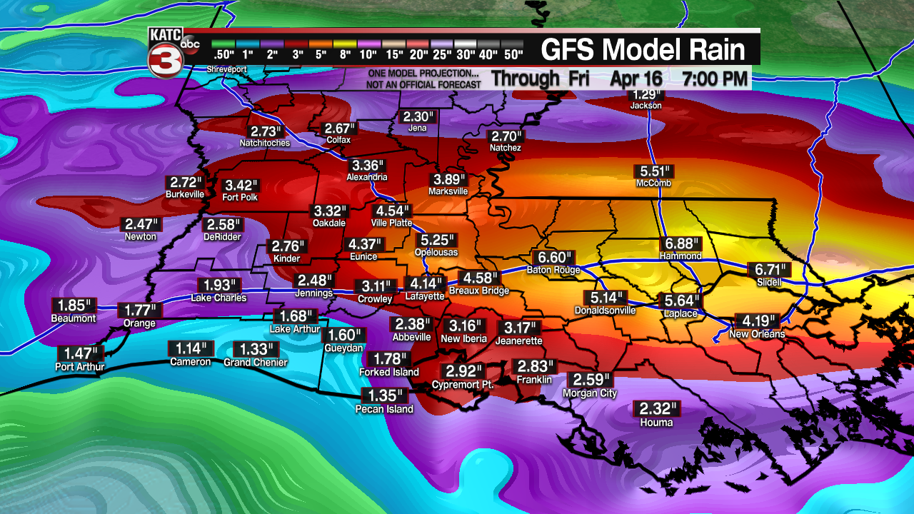
These numbers are likely to fluctuate a bit, so we'll watch the trends.
Widespread flash flooding is not anticipated, but some minor street flooding could be possible, especially in lower lying areas.
Improving conditions look to arrive as we round out the coming weekend and head into the following week.
------------------------------------------------------------
Stay in touch with us anytime, anywhere.
To reach the newsroom or report a typo/correction, click HERE.
Sign up for newsletters emailed to your inbox. Select from these options: Breaking News, Evening News Headlines, Latest COVID-19 Headlines, Morning News Headlines, Special Offers
